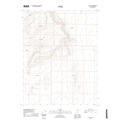
2018 Map of The Wall SW
USGS Topo · Published 2018About this map
Pancake Range defines the central topography of this Great Basin landscape in Nye County. The high-desert terrain is marked by distinctive formations such as The Wall, which stands prominently in the northwestern corner of the quadrangle. To the south of these elevations, the land transitions into the relatively level expanse of Chuck Wagon Flat. This 2018 survey reveals the Public Land Survey System grid across portions of Townships 5 and 6 North, illustrating the enduring township and range divisions that manage this isolated region. The absence of modern development highlights the traditional ranching and open-range character of this part of Nevada, where named landmarks serve as critical navigational points across the vast desert floor.
Find a feature on this map
7 named features on this map. Tap any name to fly to it.
Don’t see what you’re looking for? This feature index may not catch every label — zoom into the map to look around manually.
Map Details
Editions of this 2018 The Wall SW Map
This is the sole edition of this map. No revisions or reprints were ever made.
Other maps of this area

1956 · Lund
USGS Topo · 1:250,000

1956 · Tonopah
USGS Topo · 1:250,000

1959 · Tonopah
USGS Topo · 1:250,000

1960 · Lund
USGS Topo · 1:250,000

1962 · Tonopah
USGS Topo · 1:250,000
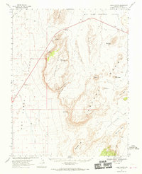
1967 · Lunar Crater
USGS Topo · 1:62,500
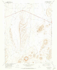
1967 · Lunar Crater
USGS Topo · 1:24,000
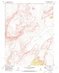
1967 · Chuck Wagon Flat
USGS Topo · 1:24,000
1968 · Reveille
USGS Topo · 1:62,500
1968 · The Wall
USGS Topo · 1:62,500