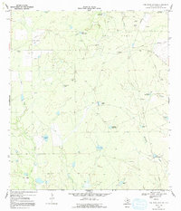
1969 Map of The White Kitchen
USGS Topo · Published 1991About this map
The eponymous settlement of The White Kitchen sits at the heart of this South Texas landscape, defined by a network of drainage creeks and ranching infrastructure in the late 1960s. The terrain is characterized by ephemeral waterways like Yeager Creek, Sauz Creek, and Quintania Creek that flow through an area heavily developed for both cattle and resource extraction. The map documents an extensive Oil Field punctuated by numerous Oil Wells and Gas Wells, reflecting the industrial footprint on the La Salle County brushland.
Find a feature on this map
30 named features on this map. Tap any name to fly to it.
Don’t see what you’re looking for? This feature index may not catch every label — zoom into the map to look around manually.
Map Details
Editions of this 1969 The White Kitchen Map
2 editions found
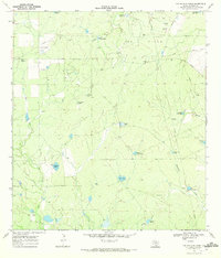
Other maps of this area

1929 · Cotulla
USGS Topo · 1:125,000

1940 · Cotulla
USGS Topo · 1:62,500

1942 · Fowlerton
USGS Topo · 1:62,500

1953 · Crystal City
USGS Topo · 1:250,000

1955 · Crystal City
USGS Topo · 1:250,000

1956 · Piedra Creek
USGS Topo · 1:62,500

1956 · Fowlerton
USGS Topo · 1:62,500

1957 · Caiman Creek
USGS Topo · 1:62,500

1961 · Crystal City
USGS Topo · 1:250,000

1968 · Crystal City
USGS Topo · 1:250,000