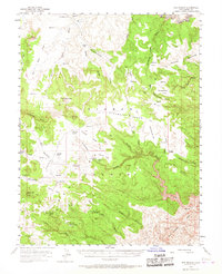
1954 Map of The Wickiup
USGS Topo · Published 1967About this map
Sinbad territory defines this high desert landscape, where water management is the primary evidence of human activity in the mid-1950s. The map reveals a network of remote catchments and reservoirs, such as Jackass Flat Reservoir, Limestone Bench Res, and Sids Res, essential for sustaining life in this arid expanse. The northern reaches are carved by the San Rafael River as it passes through the notable Black Box canyon.
Find a feature on this map
67 named features on this map. Tap any name to fly to it.
Don’t see what you’re looking for? This feature index may not catch every label — zoom into the map to look around manually.
Map Details
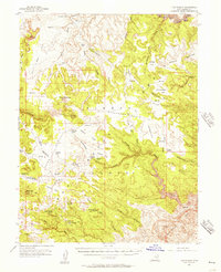
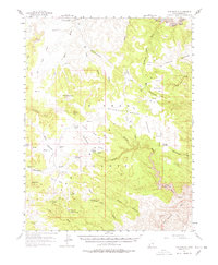
Editions of this 1954 The Wickiup Map
3 editions found
Other maps of this area

1885 · San Rafael
USGS Topo · 1:250,000

1886 · Price River
USGS Topo · 1:250,000

1896 · Price River
USGS Topo · 1:250,000

1952 · Wild Horse
USGS Topo · 1:62,500

1952 · San Rafael Knob
USGS Topo · 1:62,500

1953 · Stinking Spring Creek 2 SE
USGS Topo · 1:24,000

1953 · Wilsonville SE
USGS Topo · 1:24,000

1953 · Red Plateau SE
USGS Topo · 1:24,000

1953 · Tidwell 2 SW
USGS Topo · 1:24,000

1953 · Red Plateau SW
USGS Topo · 1:24,000