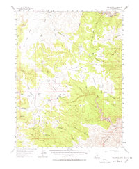
1954 Map of The Wickiup
USGS Topo · Published 1978About this map
Sinbad Country dominates this mid-century landscape of Emery County, where a network of seasonal washes and ephemeral ponds supported early ranching and prospecting efforts. The geography is defined by prominent elevations like The Wickiup and Block Mtn, interspersed with family-named landmarks such as the Reid Neilson Road and Paige Trail. These routes connected isolated points like the Lone Parson Hole settlement and water sources including The Big Pond and Crawford Holes.
Find a feature on this map
70 named features on this map. Tap any name to fly to it.
Don’t see what you’re looking for? This feature index may not catch every label — zoom into the map to look around manually.
Map Details
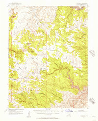
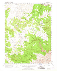
Editions of this 1954 The Wickiup Map
3 editions found
Other maps of this area

1885 · San Rafael
USGS Topo · 1:250,000

1886 · Price River
USGS Topo · 1:250,000

1896 · Price River
USGS Topo · 1:250,000

1952 · Wild Horse
USGS Topo · 1:62,500

1952 · San Rafael Knob
USGS Topo · 1:62,500

1953 · Stinking Spring Creek 2 SE
USGS Topo · 1:24,000

1953 · Wilsonville SE
USGS Topo · 1:24,000

1953 · Red Plateau SE
USGS Topo · 1:24,000

1953 · Tidwell 2 SW
USGS Topo · 1:24,000

1953 · Red Plateau SW
USGS Topo · 1:24,000