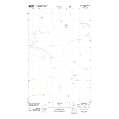
2011 Map of The Wigwams
USGS Topo · Published 2011About this map
The Selkirk Crest dominates this part of Boundary County, where the high-altitude landscape is defined by granite summits and glacial cirque lakes. Notable peaks including Temple Mountain, Kent Peak, and the distinctive formations of The Wigwams create a high-relief environment within the Selkirk Crest Management Area. This 2011 survey captures the hydrological network of the Idaho panhandle, featuring a high concentration of mountain lakes such as Two Mouth Lakes, Standard Lakes, and Beehive Lakes.
Find a feature on this map
26 named features on this map. Tap any name to fly to it.
Don’t see what you’re looking for? This feature index may not catch every label — zoom into the map to look around manually.
Map Details
Editions of this 2011 The Wigwams Map
This is the sole edition of this map. No revisions or reprints were ever made.
Other maps of this area

1911 · Priest Lake
USGS Topo · 1:250,000

1913 · Priest Lake
USGS Topo · 1:250,000

1958 · Sandpoint
USGS Topo · 1:250,000

1963 · Sandpoint
USGS Topo · 1:250,000

1967 · Priest Lake SE
USGS Topo · 1:24,000

1967 · Priest Lake NE
USGS Topo · 1:24,000

1967 · The Wigwams
USGS Topo · 1:24,000
1967 · Roman Nose
USGS Topo · 1:24,000

1967 · Mount Roothaan
USGS Topo · 1:24,000
1967 · Dodge Peak
USGS Topo · 1:24,000