
2013 Map of The Wigwams
USGS Topo · Published 2013About this map
The Wigwams and a series of prominent peaks define this high-elevation landscape within the Kanisku National Forest in northern Idaho. This 2013 survey details the drainage patterns of the Selkirk Mountains, where water flows from alpine basins like Harrison Lake and the Beehive Lakes into Pack River and several namesake creeks. The terrain is marked by distinct summits, including Kent Peak, Myrtle Peak, and Harrison Peak, which serve as natural landmarks for this wilderness area. The map also identifies the Selkirk Crest Management Area, a zone dedicated to preserving the ecological integrity of these high ridges. Local history and outdoor enthusiasts can trace the source of the N Fork Indian Cr and the S Fork Lion Cr, noting how the steep topography shapes the paths of Two Mouth Cr and Myrtle Cr.
Find a feature on this map
36 named features on this map. Tap any name to fly to it.
Don’t see what you’re looking for? This feature index may not catch every label — zoom into the map to look around manually.
Map Details
Editions of this 2013 The Wigwams Map
This is the sole edition of this map. No revisions or reprints were ever made.
Other maps of this area
1911 · Priest Lake
USGS Topo · 1:250,000
1913 · Priest Lake
USGS Topo · 1:250,000

1958 · Sandpoint
USGS Topo · 1:250,000

1963 · Sandpoint
USGS Topo · 1:250,000
1967 · Priest Lake SE
USGS Topo · 1:24,000
1967 · Priest Lake NE
USGS Topo · 1:24,000
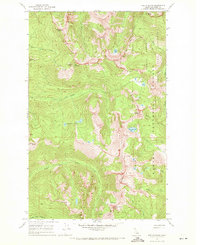
1967 · The Wigwams
USGS Topo · 1:24,000
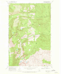
1967 · Roman Nose
USGS Topo · 1:24,000
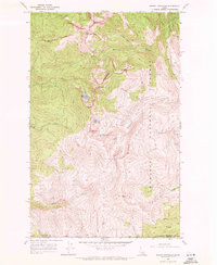
1967 · Mount Roothaan
USGS Topo · 1:24,000
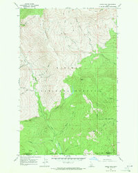
1967 · Dodge Peak
USGS Topo · 1:24,000