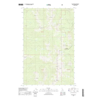
2020 Map of The Wigwams
USGS Topo · Published 2020About this map
The Wigwams rise at the center of this mountain landscape in Kaniksu National Forest, where a complex high-altitude hydrology feeds numerous basins and drainages. The area is defined by sharp elevation changes between peaks like Klootch Mtn and Harrison Peak, and the many alpine water bodies they shelter. A network of glacial tarns including Two Mouth Lakes, Harrison Lake, and Upper Standard Lake suggests a rugged interior largely inaccessible by major road systems. Transportation is limited to primitive routes such as the Myrtle Creek Pack River trail, which follows the contours of the Pack River valley. This 2020 survey documents a wilderness character preserved by federal management, where numerous creeks like Lion Cr and Beehive Cr descend from heights including Goblin Knob and Seven Sisters into the surrounding valleys of Boundary County.
Find a feature on this map
36 named features on this map. Tap any name to fly to it.
Don’t see what you’re looking for? This feature index may not catch every label — zoom into the map to look around manually.
Map Details
Editions of this 2020 The Wigwams Map
This is the sole edition of this map. No revisions or reprints were ever made.
Other maps of this area

1911 · Priest Lake
USGS Topo · 1:250,000

1913 · Priest Lake
USGS Topo · 1:250,000

1958 · Sandpoint
USGS Topo · 1:250,000

1963 · Sandpoint
USGS Topo · 1:250,000

1967 · Priest Lake SE
USGS Topo · 1:24,000

1967 · Priest Lake NE
USGS Topo · 1:24,000

1967 · The Wigwams
USGS Topo · 1:24,000
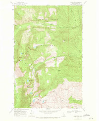
1967 · Roman Nose
USGS Topo · 1:24,000

1967 · Mount Roothaan
USGS Topo · 1:24,000
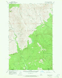
1967 · Dodge Peak
USGS Topo · 1:24,000