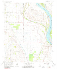
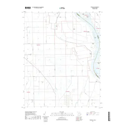
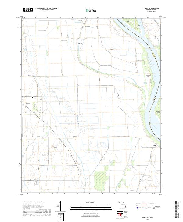
1967 Map of Thebes SW
USGS Topo · Published 1981About this map
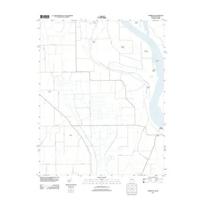
The Mississippi River dominates the eastern boundary of this Missouri landscape, shaping a complex network of chutes and islands such as Powers Island, Goose Island, and Burnham Island. This mid-century survey captures the river’s hydrological influence on the Commerce and Moreland townships, where the land transitions into the alluvial plains of the Sandy Woods and Tywappity. The settlement at Price Landing serves as a focal point near the riverbank, while the Missouri Pacific railroad cuts through the northeastern corner, indicating the vital transport links of the era.
Find a feature on this map
29 named features on this map. Tap any name to fly to it.
Don’t see what you’re looking for? This feature index may not catch every label — zoom into the map to look around manually.
Map Details
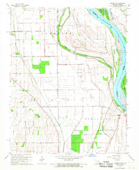
Editions of this 1967 Thebes SW Map
2 editions found
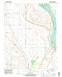
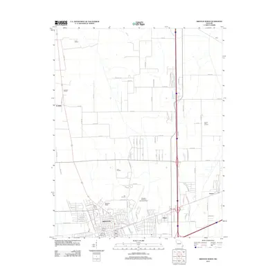
Historical Maps of Lusk Through Time
11 maps found

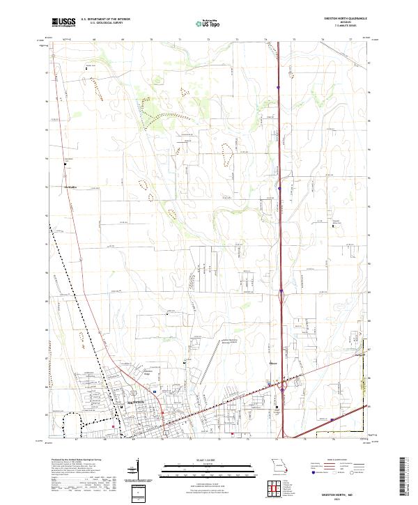
1963 Sikeston North
Scott County, MO
1967 Thebes SW
Scott County, MO
1993 Thebes SW
Scott County, MO
2012 Sikeston North
Scott County, MO
2012 Thebes SW
Scott County, MO
2015 Sikeston North
Scott County, MO
2015 Thebes SW
Scott County, MO
2017 Sikeston North
Scott County, MO
2017 Thebes SW
Scott County, MO
2021 Sikeston North
Scott County, MO
2021 Thebes SW
Scott County, MO