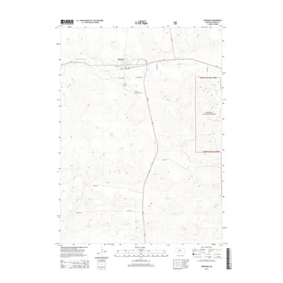
2014 Map of Thedford
USGS Topo · Published 2014About this map
Thedford serves as a critical junction in Thomas County, where the east-west corridor of Ne-2 meets the north-south route of Us-83. Located along the banks of the Middle Loup River, the settlement's layout reflects its dual identity as a river town and a vital transportation hub for the surrounding Sandhills region. The map details the local infrastructure supporting the community, from the Thomas County Airport to the grid of streets including Main St and residential extensions like Coyote Run.
Find a feature on this map
17 named features on this map. Tap any name to fly to it.
Don’t see what you’re looking for? This feature index may not catch every label — zoom into the map to look around manually.
Map Details
Editions of this 2014 Thedford Map
This is the sole edition of this map. No revisions or reprints were ever made.
Other maps of this area

1948 · Thedford
USGS Topo · 1:62,500

1948 · Halsey
USGS Topo · 1:62,500

1948 · Seneca 4
USGS Topo · 1:62,500

1949 · Seneca 4
USGS Topo · 1:62,500

1949 · Purdum
USGS Topo · 1:62,500

1950 · Thedford
USGS Topo · 1:62,500

1950 · Halsey
USGS Topo · 1:62,500

1951 · Purdum
USGS Topo · 1:62,500

1954 · North Platte
USGS Topo · 1:250,000

1956 · North Platte
USGS Topo · 1:250,000