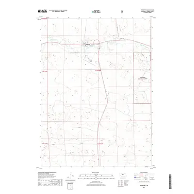
2017 Map of Thedford
USGS Topo · Published 2017About this map
Thedford serves as a central hub in the Nebraska Sandhills, situated where the Middle Loup River flows through the northern reaches of Thomas County. The town layout is clearly defined by its street grid, including Main St and Railroad St, reflecting its historical reliance on transportation. Just south of the river valley, the Thomas County Airport and Hillcrest Cemetery occupy the transitional ground leading toward the higher elevations.
Find a feature on this map
22 named features on this map. Tap any name to fly to it.
Don’t see what you’re looking for? This feature index may not catch every label — zoom into the map to look around manually.
Map Details
Editions of this 2017 Thedford Map
This is the sole edition of this map. No revisions or reprints were ever made.
Other maps of this area

1948 · Thedford
USGS Topo · 1:62,500

1948 · Halsey
USGS Topo · 1:62,500

1948 · Seneca 4
USGS Topo · 1:62,500

1949 · Seneca 4
USGS Topo · 1:62,500

1949 · Purdum
USGS Topo · 1:62,500

1950 · Thedford
USGS Topo · 1:62,500

1950 · Halsey
USGS Topo · 1:62,500

1951 · Purdum
USGS Topo · 1:62,500

1954 · North Platte
USGS Topo · 1:250,000

1956 · North Platte
USGS Topo · 1:250,000