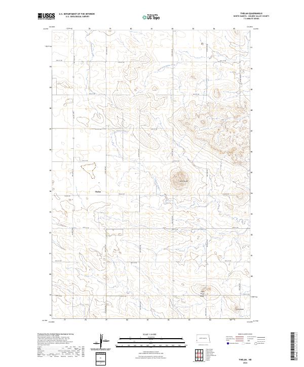
2024 Map of Thelan
USGS Topo · Published 2024About this map
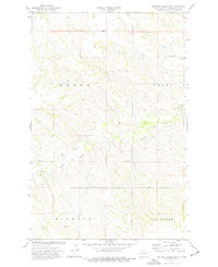
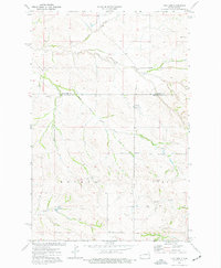
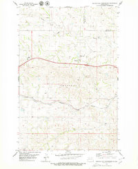
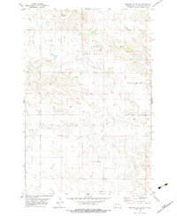
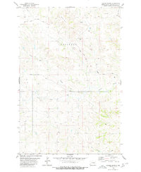
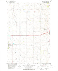
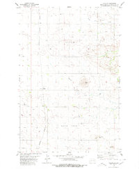
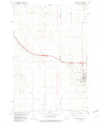
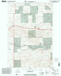
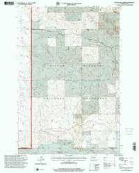
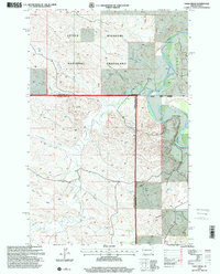
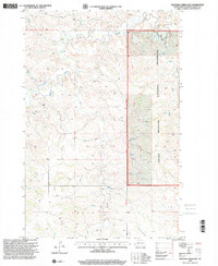
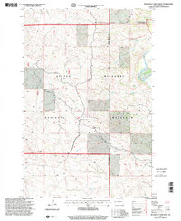
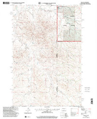
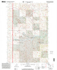
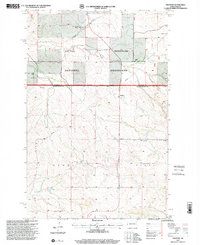
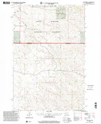
Thelan sits at the heart of this Western North Dakota landscape, where the high plains of Golden Valley County are defined by a network of drainage creeks and prominent topographic rises. The drainage of Garner Creek and its North Fork Garner Creek branch through the central and northern sections, while Little Beaver Creek touches the northwest corner. The terrain is punctuated by several distinctive elevations, including Rocky Butte, Five Point Butte, and Lone Butte, which serve as permanent landmarks in an area dominated by a rigid section-line road grid. This grid, composed of routes like Thelen Rd and numerous numbered avenues such as 165th Ave SW, reflects the systematic land division of the region. The map captures the intersection of natural watercourses and the human-imposed geometry of the township and range system, providing a clear view of land use and orientation in this rural prairie setting.
Find a feature on this map
25 named features on this map. Tap any name to fly to it.
Don’t see what you’re looking for? This feature index may not catch every label — zoom into the map to look around manually.
Map Details
Editions of this 2024 Thelan Map
This is the sole edition of this map. No revisions or reprints were ever made.
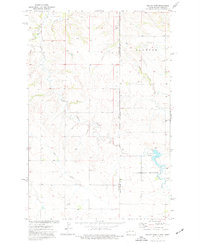
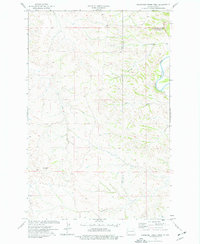
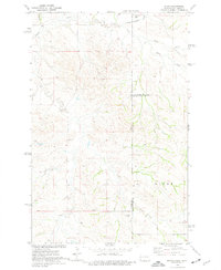
Historical Maps of Ekre Through Time
51 maps found
1970 Eagle Draw
Golden Valley County, ND
1974 Hootowl Creek East
Golden Valley County, ND
1974 Hootowl Creek SW
Golden Valley County, ND
1974 Hootowl Creek West
Golden Valley County, ND
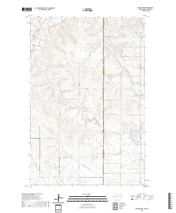
1974 Odland Dam
Golden Valley County, ND
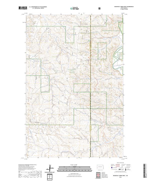
1974 Roosevelt Creek West
Golden Valley County, ND
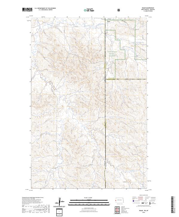
1974 Skaar
Golden Valley County, ND
1974 Trotters
Golden Valley County, ND
1974 Trotters SE
Golden Valley County, ND
1974 Wannagan Creek West
Golden Valley County, ND
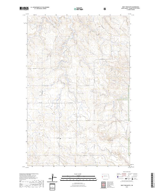
1974 West Twin Butte
Golden Valley County, ND
1979 Buffalo Gap Campground
Golden Valley County, ND
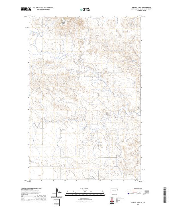
1979 Sentinel Butte SE
Golden Valley County, ND
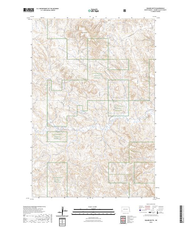
1979 Square Butte
Golden Valley County, ND
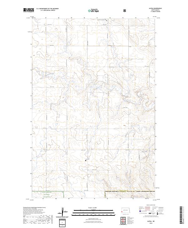
1980 Alpha
Golden Valley County, ND
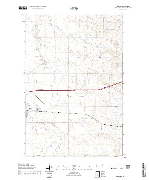
1980 Beach East
Golden Valley County, ND
1980 Thelan
Golden Valley County, ND
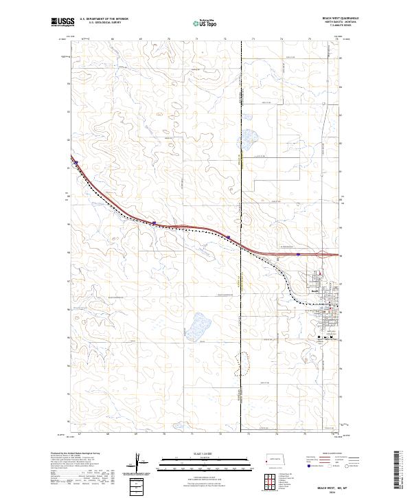
1982 Beach West
Golden Valley County, ND

1997 Alpha
Golden Valley County, ND
1997 Buffalo Gap Campground
Golden Valley County, ND
1997 Dry Bullion Creek
Golden Valley County, ND
1997 Eagle Draw
Golden Valley County, ND
1997 Hootowl Creek East
Golden Valley County, ND
1997 Roosevelt Creek West
Golden Valley County, ND
1997 Skaar
Golden Valley County, ND
1997 Square Butte
Golden Valley County, ND
1997 Trotters
Golden Valley County, ND
1997 Trotters SE
Golden Valley County, ND
1997 Wannagan Creek West
Golden Valley County, ND
1997 West Twin Butte
Golden Valley County, ND
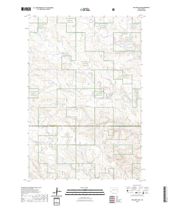
1997 Williams Lake
Golden Valley County, ND
2024 Alpha
Golden Valley County, ND
2024 Beach East
Golden Valley County, ND
2024 Beach West
Golden Valley County, ND
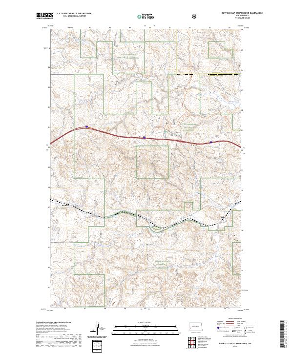
2024 Buffalo Gap Campground
Golden Valley County, ND
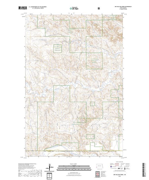
2024 Dry Bullion Creek
Golden Valley County, ND
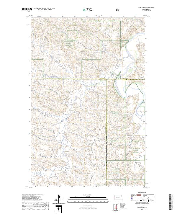
2024 Eagle Draw
Golden Valley County, ND
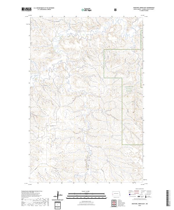
2024 Hootowl Creek East
Golden Valley County, ND
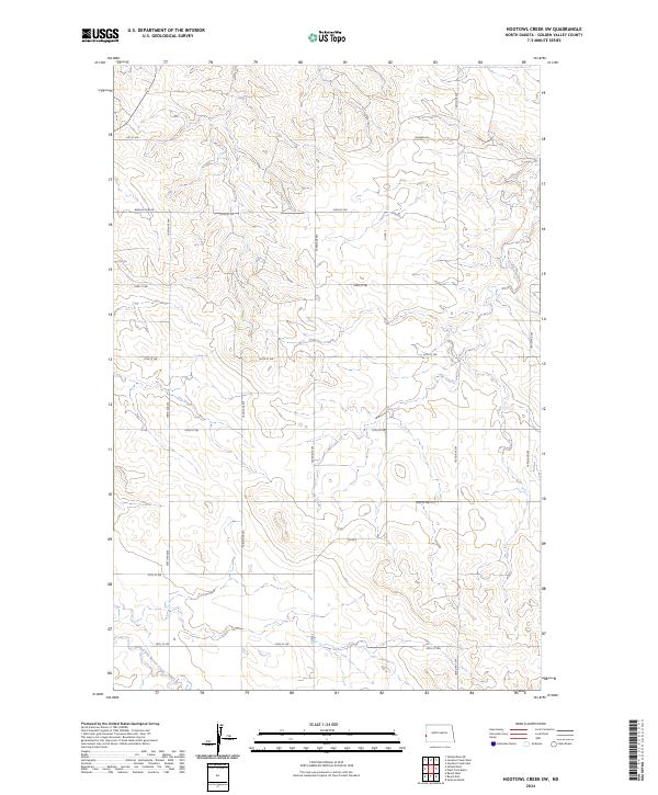
2024 Hootowl Creek SW
Golden Valley County, ND
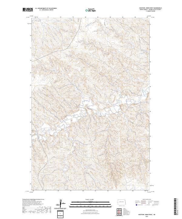
2024 Hootowl Creek West
Golden Valley County, ND
2024 Odland Dam
Golden Valley County, ND
2024 Roosevelt Creek West
Golden Valley County, ND
2024 Sentinel Butte SE
Golden Valley County, ND
2024 Skaar
Golden Valley County, ND
2024 Square Butte
Golden Valley County, ND
2024 Thelan
Golden Valley County, ND
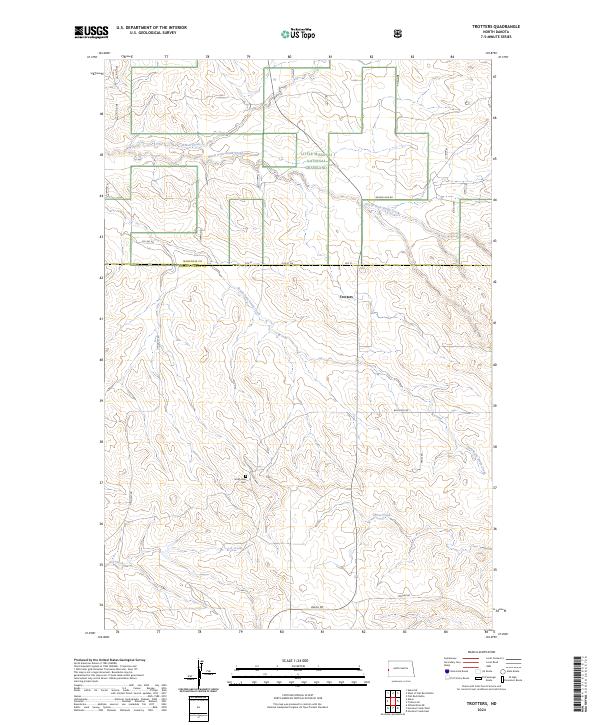
2024 Trotters
Golden Valley County, ND
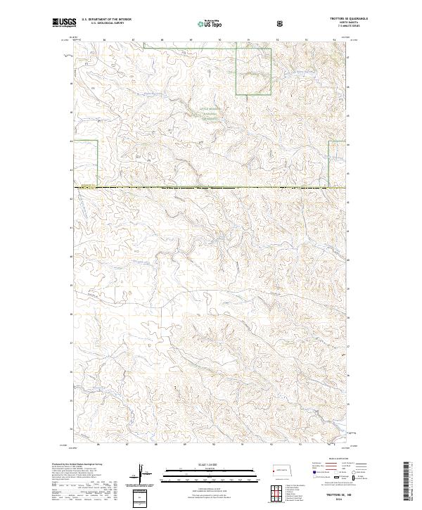
2024 Trotters SE
Golden Valley County, ND
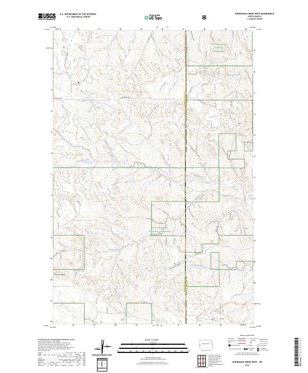
2024 Wannagan Creek West
Golden Valley County, ND
2024 West Twin Butte
Golden Valley County, ND
2024 Williams Lake
Golden Valley County, ND
Featured Locations
- Golden Valley County, ND
- Lone Tree Township, ND
- Beach Township, ND
- Thelan, Beach Township
- Ekre, Lone Tree Township