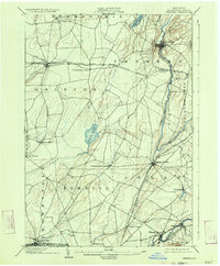
1903 Map of Theresa
USGS Topo · Published 1934About this map
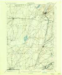
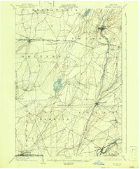
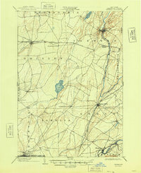
Theresa and the surrounding Jefferson County landscape are defined here by a dense network of early 20th-century rail lines and agricultural junctions. The Indian River winds through the northern section, while the southern border is anchored by the Black River industrial corridor. Transportation dominates the era's geography, with the New York Central and Hudson River R. R. and the Rome Watertown and Ogdensburg Div. connecting numerous outlying settlements. This 1903 survey, reprinted in 1934, illustrates a transition between established river-milling communities like Felts Mills and rail-dependent crossroads such as Lafargeville and Evans Mills. Between these hubs lie the waters of Perch Lake and Hyde Lake, set against a backdrop of organized townships including Orleans, Pamelia, and Le Ray.
Find a feature on this map
54 named features on this map. Tap any name to fly to it.
Don’t see what you’re looking for? This feature index may not catch every label — zoom into the map to look around manually.
Map Details
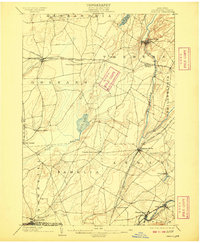
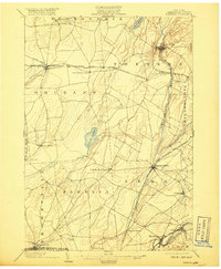
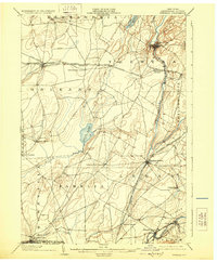
Editions of this 1903 Theresa Map
8 editions found
Other maps of this area

1893 · Sackets Harbor
USGS Topo · 1:62,500

1895 · Sacketts Harbor
USGS Topo · 1:62,500

1895 · Watertown
USGS Topo · 1:62,500

1898 · Watertown
USGS Topo · 1:62,500

1900 · Clayton
USGS Topo · 1:62,500

1902 · Carthage
USGS Topo · 1:62,500

1903 · Grindstone
USGS Topo · 1:62,500

1903 · Clayton
USGS Topo · 1:62,500

1903 · Alexandria Bay
USGS Topo · 1:62,500

1903 · Theresa
USGS Topo · 1:62,500