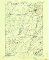
1903 Map of Theresa
USGS Topo · Published 1942About this map
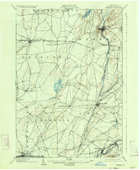
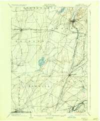
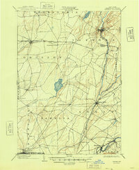
The Indian River cuts a winding path through this northern New York landscape, anchoring the village of Theresa and shaping the early industrial character of Jefferson County at the turn of the century. This survey reveals a dense network of steam-era transportation, dominated by the New York Central and Hudson River R. R. and the Rome Watertown and Ogdensburg Div. crossing the rural townships of Alexandria, Orleans, and Leray.
Find a feature on this map
48 named features on this map. Tap any name to fly to it.
Don’t see what you’re looking for? This feature index may not catch every label — zoom into the map to look around manually.
Map Details
Editions of this 1903 Theresa Map
8 editions found
Other maps of this area

1893 · Sackets Harbor
USGS Topo · 1:62,500

1895 · Sacketts Harbor
USGS Topo · 1:62,500

1895 · Watertown
USGS Topo · 1:62,500

1898 · Watertown
USGS Topo · 1:62,500

1900 · Clayton
USGS Topo · 1:62,500

1902 · Carthage
USGS Topo · 1:62,500

1903 · Grindstone
USGS Topo · 1:62,500

1903 · Clayton
USGS Topo · 1:62,500

1903 · Alexandria Bay
USGS Topo · 1:62,500

1903 · Theresa
USGS Topo · 1:62,500