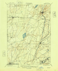
1903 Map of Theresa
USGS Topo · Published 1948About this map
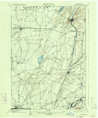
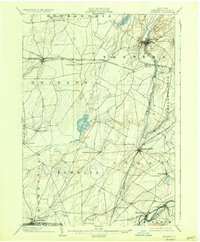
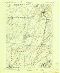
The Indian River winds through a landscape of diverse settlements and intersecting rail lines in this Jefferson County survey. At Theresa, the river creates a sharp bend, while further south it flows through Evans Mills, a location defined by the junction of the Rome Watertown and Ogdensburg Div. and the New York Central and Hudson River R. R. railroads. The map highlights the agricultural and transport hubs of the early 1900s, including Lafargeville and Theresa Junction, where the Clayton Branch split from the main line. To the south, the Black River serves as a major boundary near Brownville and Felts Mills, while the open Pine Plains and Perch Lake break the hilly terrain. This document captures the rural township structures of Pamelia, Orleans, and Theresa before the significant modernization of the mid-twentieth century.
Find a feature on this map
40 named features on this map. Tap any name to fly to it.
Don’t see what you’re looking for? This feature index may not catch every label — zoom into the map to look around manually.
Map Details
Editions of this 1903 Theresa Map
8 editions found
Other maps of this area

1893 · Sackets Harbor
USGS Topo · 1:62,500

1895 · Sacketts Harbor
USGS Topo · 1:62,500

1895 · Watertown
USGS Topo · 1:62,500

1898 · Watertown
USGS Topo · 1:62,500

1900 · Clayton
USGS Topo · 1:62,500

1902 · Carthage
USGS Topo · 1:62,500

1903 · Grindstone
USGS Topo · 1:62,500

1903 · Clayton
USGS Topo · 1:62,500

1903 · Alexandria Bay
USGS Topo · 1:62,500

1903 · Theresa
USGS Topo · 1:62,500