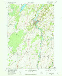
1958 Map of Theresa
USGS Topo · Published 1960About this map
The Indian River winds through the heart of Jefferson County in this late 1950s survey, anchoring the village of Theresa where it makes a dramatic series of bends. This landscape is defined by the convergence of water and rail, with the New York Central Road corridor linking several small rural hubs. To the south, Rivergate marks a significant junction where the railroad crosses Otter Creek, while named crossings like Stroughs Crossing and Douglas Crossing indicate the historical importance of the rail line to the local economy.
Find a feature on this map
64 named features on this map. Tap any name to fly to it.
Don’t see what you’re looking for? This feature index may not catch every label — zoom into the map to look around manually.
Map Details
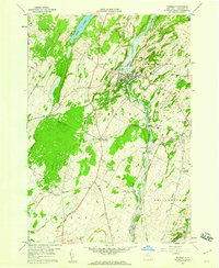
Editions of this 1958 Theresa Map
2 editions found
Other maps of this area

1903 · Alexandria Bay
USGS Topo · 1:62,500

1903 · Theresa
USGS Topo · 1:62,500

1911 · Antwerp
USGS Topo · 1:62,500

1912 · Hammond
USGS Topo · 1:62,500

1943 · Redwood
USGS Topo · 1:31,680

1943 · Lafargeville
USGS Topo · 1:31,680
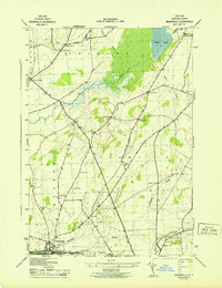
1943 · Brownville
USGS Topo · 1:31,680

1943 · Alexandria Bay
USGS Topo · 1:31,680

1944 · Hammond
USGS Topo · 1:62,500

1948 · Theresa
USGS Topo · 1:24,000