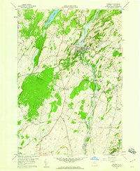
1958 Map of Theresa
USGS Topo · Published 1960About this map
The Indian River carves a winding path through this Jefferson County landscape, anchoring the village of Theresa, which serves as the local hub for the surrounding township. This 1958 field survey documents a rural economy structured around water and rail, with the New York Central railroad traversing the territory and established stops like Stroughs Crossing and Douglas Crossing connecting the countryside to regional markets. The map is a vital resource for genealogists, recording several family-named locations such as Van Allen Cem and Chaufty Cem, alongside numerous country crossroads like Shurtleff Corners and Whitneys Corners. Natural features like Hyde Lake and the wetlands along Otter Creek define the township borders, while early infrastructure is noted at Kelsey Bridge and the village's High Sch.
Find a feature on this map
55 named features on this map. Tap any name to fly to it.
Don’t see what you’re looking for? This feature index may not catch every label — zoom into the map to look around manually.
Map Details
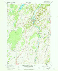
Editions of this 1958 Theresa Map
2 editions found
Other maps of this area

1903 · Alexandria Bay
USGS Topo · 1:62,500

1903 · Theresa
USGS Topo · 1:62,500

1911 · Antwerp
USGS Topo · 1:62,500

1912 · Hammond
USGS Topo · 1:62,500

1943 · Redwood
USGS Topo · 1:31,680

1943 · Lafargeville
USGS Topo · 1:31,680
1943 · Brownville
USGS Topo · 1:31,680

1943 · Alexandria Bay
USGS Topo · 1:31,680

1944 · Hammond
USGS Topo · 1:62,500

1948 · Theresa
USGS Topo · 1:24,000