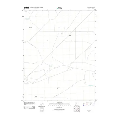
2011 Map of Thermo
USGS Topo · Published 2011About this map
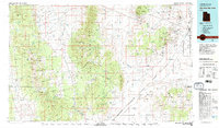
Thermo Hot Springs and the small settlement of Thermo define this remote Iron County landscape, where geothermal activity and livestock ranching intersect. Located in the desert plains south of the Shauntie Hills, the map illustrates a network of critical water resources such as Dead Horse Reservoir and Monument Knolls Reservoir, which supported local agricultural operations in an arid environment. The road system, including the prominent Beryl Milford Rd and Thermal Rd, follows the flat valley floor, connecting isolated landmarks like Dead Horse Point and Old Rambler Hill. This 2011 survey records the modern layout of these high-desert outposts, preserving the spatial relationship between the hot springs and the naming of the nearby thermal-related developments.
Find a feature on this map
12 named features on this map. Tap any name to fly to it.
Don’t see what you’re looking for? This feature index may not catch every label — zoom into the map to look around manually.
Map Details
Editions of this 2011 Thermo Map
This is the sole edition of this map. No revisions or reprints were ever made.
Other maps of this area
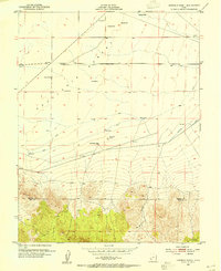
1953 · Ninemile Knoll
USGS Topo · 1:24,000
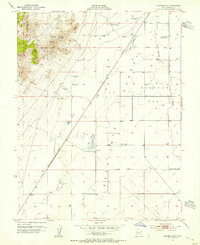
1953 · Milford Flat
USGS Topo · 1:24,000

1953 · Richfield
USGS Topo · 1:250,000

1958 · Richfield
USGS Topo · 1:250,000
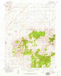
1958 · Thermo
USGS Topo · 1:62,500
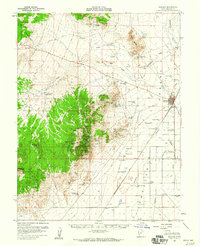
1958 · Milford
USGS Topo · 1:62,500
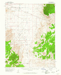
1959 · Frisco
USGS Topo · 1:62,500
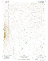
1971 · Burns Knoll
USGS Topo · 1:24,000
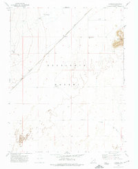
1971 · Latimer
USGS Topo · 1:24,000
1980 · Wah Wah Mts. South
USGS Topo · 1:100,000