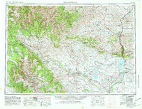
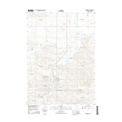
1955 Map of Thermopolis
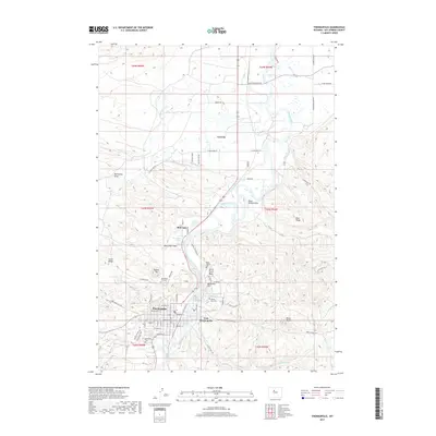
USGS Topo · Published 1980About this map
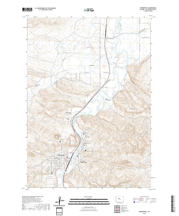
The Wind River Indian Reservation occupies the heart of this landscape, where the Wind River carves through the Wind River Canyon to become the Bighorn River. The 1980 revision of this mid-century survey captures the region's agricultural and industrial infrastructure, from the Midvale irrigation projects to the extensive Oil Field developments near Gebo. The map documents a critical transition in water management, showing the Boysen Reservoir and Ocean Lake alongside the Wind River Valley rail network.
Find a feature on this map
85 named features on this map. Tap any name to fly to it.
Don’t see what you’re looking for? This feature index may not catch every label — zoom into the map to look around manually.
Map Details
Editions of this 1955 Thermopolis Map
2 editions found

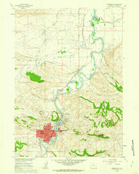
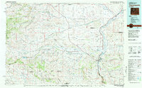
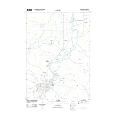
Historical Maps of Riverton Through Time
9 maps found
1955 Thermopolis
Hot Springs County, WY

1958 Thermopolis
Hot Springs County, WY
1960 Thermopolis
Hot Springs County, WY

1962 Thermopolis
Hot Springs County, WY
1981 Thermopolis
Hot Springs County, WY
2012 Thermopolis
Hot Springs County, WY
2015 Thermopolis
Hot Springs County, WY
2017 Thermopolis
Hot Springs County, WY
2021 Thermopolis
Hot Springs County, WY