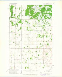
1961 Map of Thief River Falls NE
USGS Topo · Published 1963About this map
Elm Lake and the surrounding Wildlife Management Area dominate the northern landscape of this region, which was surveyed during the early 1960s. The terrain is defined by a grid of rural section lines and a drainage network that includes the Thief River and the prominent County Ditch No 20. This area, split between Marshall and Pennington Counties, reflects a mid-century agricultural and conservation-focused landscape where small community centers like Agder and Silverton anchored the local population. Genealogists will find several notable landmarks for family research, including the Silverton Ch Cem, Satersdal Cem, and the Sunnyside Sch. The map also captures local religious life through Silver Creek Ch and Bethlehem Ch, while a single Gravel Pit serves as a small-scale indicator of local industrial activity at the time.
Find a feature on this map
16 named features on this map. Tap any name to fly to it.
Don’t see what you’re looking for? This feature index may not catch every label — zoom into the map to look around manually.
Map Details
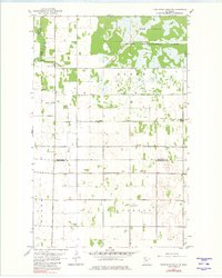
Editions of this 1961 Thief River Falls NE Map
2 editions found
Other maps of this area

1918 · Rollis
USGS Topo · 1:62,500

1918 · Middle River
USGS Topo · 1:62,500

1943 · Rollis
USGS Topo · 1:62,500

1943 · Thief River Falls
USGS Topo · 1:62,500

1952 · Thief River Falls
USGS Topo · 1:250,000

1954 · Roseau
USGS Topo · 1:250,000

1956 · Thief River Falls
USGS Topo · 1:250,000

1957 · Roseau
USGS Topo · 1:250,000

1957 · Thief River Falls
USGS Topo · 1:250,000

1958 · Roseau
USGS Topo · 1:250,000