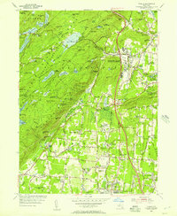
1955 Map of Thiells
USGS Topo · Published 1957About this map
The sprawling campus of the Letchworth Village State Mental Institution and the Happy Valley Institution for Needy Children define the institutional landscape of central Rockland County in the mid-1950s. This survey captures a moment when the rural character of the region was beginning to shift under the influence of the newly constructed Palisades Interstate Parkway. To the west, the heavily wooded terrain of the Harriman Section Palisades Interstate Park preserves older industrial and social markers, such as the Hogencamp Mine and the quiet File Factory Hollow.
Find a feature on this map
130 named features on this map. Tap any name to fly to it.
Don’t see what you’re looking for? This feature index may not catch every label — zoom into the map to look around manually.
Map Details
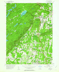
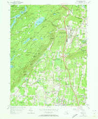
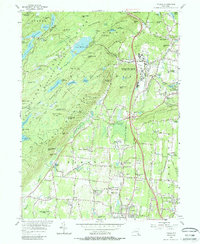
Editions of this 1955 Thiells Map
4 editions found
Other maps of this area

1891 · Ramapo
USGS Topo · 1:62,500

1892 · West Point
USGS Topo · 1:62,500

1892 · Tarrytown
USGS Topo · 1:62,500

1893 · Tarrytown
USGS Topo · 1:62,500

1893 · Ramapo
USGS Topo · 1:62,500

1894 · West Point
USGS Topo · 1:62,500

1899 · West Point
USGS Topo · 1:62,500

1901 · West Point
USGS Topo · 1:62,500

1902 · Tarrytown
USGS Topo · 1:62,500

1902 · Schunemunk
USGS Topo · 1:62,500