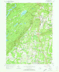
1955 Map of Thiells
USGS Topo · Published 1973About this map
Letchworth Village stands as a sprawling institutional anchor in this Rockland County landscape, located just west of Thiells. The mid-century terrain is defined by a striking contrast between the concentrated development in the east, where the Erie Railroad services communities like West Haverstraw and New City Park, and the preserved wilderness of Harriman State Park to the west. This upland area is dominated by peaks like Big Hill and Jackie Jones Mtn, interspersed with artificial reservoirs and natural bodies like Lake Kanawauke. Historical industry and rural infrastructure are evidenced by File Factory Hollow and the Hogen Camp Mine, while numerous small houses of worship including Wesley Chapel and the English Church mark the established social fabric. The southern reaches show the early residential expansion of Pomona and Hillcrest as they began to border the Empire State Country Club.
Find a feature on this map
97 named features on this map. Tap any name to fly to it.
Don’t see what you’re looking for? This feature index may not catch every label — zoom into the map to look around manually.
Map Details
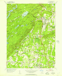
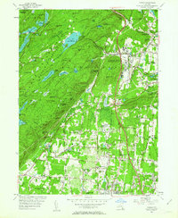
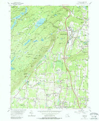
Editions of this 1955 Thiells Map
4 editions found
Other maps of this area

1891 · Ramapo
USGS Topo · 1:62,500

1892 · West Point
USGS Topo · 1:62,500

1892 · Tarrytown
USGS Topo · 1:62,500

1893 · Tarrytown
USGS Topo · 1:62,500

1893 · Ramapo
USGS Topo · 1:62,500

1894 · West Point
USGS Topo · 1:62,500

1899 · West Point
USGS Topo · 1:62,500

1901 · West Point
USGS Topo · 1:62,500

1902 · Tarrytown
USGS Topo · 1:62,500

1902 · Schunemunk
USGS Topo · 1:62,500