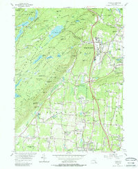
1955 Map of Thiells
USGS Topo · Published 1988About this map
The expansive grounds of Letchworth Village State Mental Institution and the Happy Valley Institution for Needy Children dominate this Rockland County landscape during the mid-1950s. The map illustrates a complex social geography where massive institutional campuses sit adjacent to traditional rural hamlets like Thiells and Ladentown. To the west, the wilderness of Harriman State Park contains remnants of the region's industrial past, including the Hogencamp Mine and various fire-control structures like the Lookout Tower on Jackie Jones Mtn.
Find a feature on this map
103 named features on this map. Tap any name to fly to it.
Don’t see what you’re looking for? This feature index may not catch every label — zoom into the map to look around manually.
Map Details
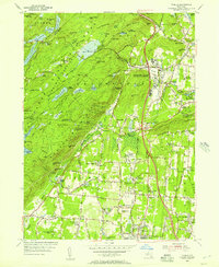
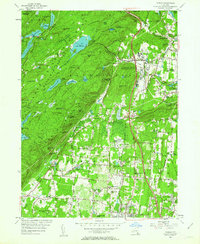
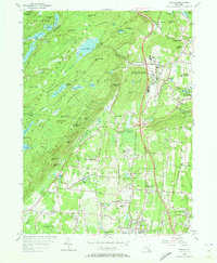
Editions of this 1955 Thiells Map
4 editions found
Other maps of this area

1891 · Ramapo
USGS Topo · 1:62,500

1892 · West Point
USGS Topo · 1:62,500

1892 · Tarrytown
USGS Topo · 1:62,500

1893 · Tarrytown
USGS Topo · 1:62,500

1893 · Ramapo
USGS Topo · 1:62,500

1894 · West Point
USGS Topo · 1:62,500

1899 · West Point
USGS Topo · 1:62,500

1901 · West Point
USGS Topo · 1:62,500

1902 · Tarrytown
USGS Topo · 1:62,500

1902 · Schunemunk
USGS Topo · 1:62,500