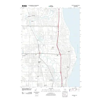
2010 Map of Thiensville
USGS Topo · Published 2010About this map
The Milwaukee River winds through this suburban corridor north of Milwaukee, serving as a primary geographical anchor for the communities of Mequon, Thiensville, River Hills, and Brown Deer. At the northern edge, the Thiensville 2WP535 Dam regulates the river's flow near the historic village center. The map reveals a dense network of civic and educational institutions, including the University School of Milwaukee and Cardinal Stritch University near the lakefront. Along the western edge, substantial land is dedicated to memorial sites such as Graceland Cemetery, Saint Michaels Cemetery, and Trinity Lutheran Cemetery. The landscape transitions from the residential developments of Bayside and Fox Point along the Lake Michigan shoreline to the recreational expanses of the Brown Deer Golf Course, illustrating the region's late 20th-century character as a developed residential and institutional hub.
Find a feature on this map
51 named features on this map. Tap any name to fly to it.
Don’t see what you’re looking for? This feature index may not catch every label — zoom into the map to look around manually.
Map Details
Editions of this 2010 Thiensville Map
This is the sole edition of this map. No revisions or reprints were ever made.
Other maps of this area

1892 · Milwaukee
USGS Topo · 1:62,500

1892 · Waukesha
USGS Topo · 1:62,500

1892 · Port Washington
USGS Topo · 1:62,500

1901 · Milwaukee
USGS Topo · 1:62,500

1901 · Waukesha
USGS Topo · 1:62,500

1904 · West Bend
USGS Topo · 1:62,500

1904 · Port Washington
USGS Topo · 1:62,500

1906 · Waukesha
USGS Topo · 1:62,500

1906 · Milwaukee
USGS Topo · 1:62,500

1954 · Milwaukee
USGS Topo · 1:250,000