2022 Map of Thiensville
USGS Topo · Published 2022About this map
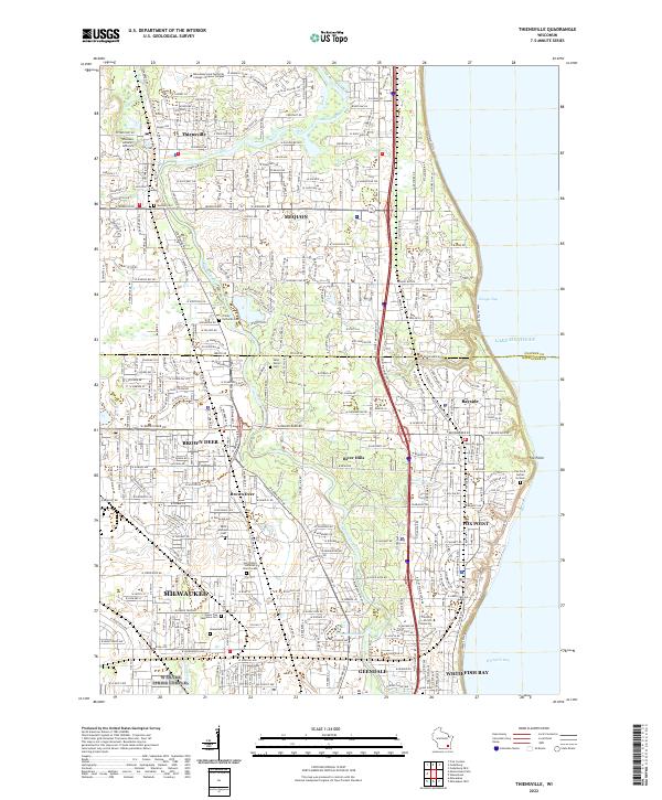
The Milwaukee River winds through this suburban landscape north of Milwaukee, defining the boundaries between several established communities and institutional campuses. In the northern reaches, the village of Thiensville is situated near the Wisconsin Lutheran Seminary and the Milwaukee Area Technical College-Mequon Campus, while the expansive city of Mequon surrounds it. The terrain transitions toward the shoreline of Lake Michigan, where the communities of Bayside, River Hills, and Fox Point occupy the coastal bluffs and wooded ravines.
Find a feature on this map
50 named features on this map. Tap any name to fly to it.
Don’t see what you’re looking for? This feature index may not catch every label — zoom into the map to look around manually.
Map Details
Editions of this 2022 Thiensville Map
This is the sole edition of this map. No revisions or reprints were ever made.