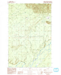
1990 Map of Thimble Mountain
USGS Topo · Published 1993About this map
The Quinault Indian Reservation dominates this landscape in the early 1990s, defined by the winding course of the Quinault River and its numerous tributaries. The map documents a specific intersection of indigenous territory and historic geopolitical lines, most notably the 1818 Treaty Boundary visible in the northern portion of the quadrangle. The terrain transitions from the river valley floor toward the heights of Thimble Mountain, with the hydrological network including South Fork Salmon River, Crane Creek, and O'Clock Creek. Evidence of earlier industrial or transit activity is marked by an Old RR Grade and several resource extraction sites like Borrow Pit and various Gravel Pits. A lone Water Tank stands near the base of the mountain, indicating localized infrastructure in an otherwise largely undeveloped wilderness area.
Find a feature on this map
19 named features on this map. Tap any name to fly to it.
Don’t see what you’re looking for? This feature index may not catch every label — zoom into the map to look around manually.
Map Details
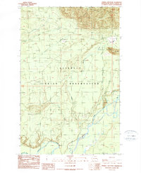
Editions of this 1990 Thimble Mountain Map
2 editions found
Other maps of this area

1921 · Quinault Lake
USGS Topo · 1:62,500

1943 · Copalis Beach
USGS Topo · 1:250,000

1951 · Copalis Beach
USGS Topo · 1:250,000

1955 · Macafee Hill
USGS Topo · 1:62,500

1955 · Quinault Lake
USGS Topo · 1:62,500

1956 · Kloochman Rock
USGS Topo · 1:62,500

1956 · Salmon River
USGS Topo · 1:62,500

1957 · Copalis Beach
USGS Topo · 1:250,000

1958 · Seattle
USGS Topo · 1:250,000

1962 · Seattle
USGS Topo · 1:250,000