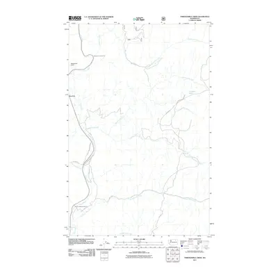
2011 Map of Thirteenmile Creek
USGS Topo · Published 2011About this map
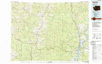
The Sanpoil River carves a path through the western edge of this landscape within the Colville Indian Reservation. The drainage network is defined by a series of significant tributaries entering from the east, including Thirteenmile Creek, Seventeenmile Creek, and Nineteenmile Creek. The settlement of West Fork sits near the river's bend, serving as a gateway to the surrounding highlands. Recreational access is anchored by the Thirteenmile Campground and Twentyone Mile Campground, while the higher elevations feature Crawfish Lake and the steep descent of Rattlesnake Gulch. A complex network of forest and tribal roads, such as Bia 1050 RD and 21 Mile RD, provides the primary infrastructure through these wooded valleys, reflecting the area's ongoing management and importance to the local community and tribal lands.
Find a feature on this map
21 named features on this map. Tap any name to fly to it.
Don’t see what you’re looking for? This feature index may not catch every label — zoom into the map to look around manually.
Map Details
Editions of this 2011 Thirteenmile Creek Map
This is the sole edition of this map. No revisions or reprints were ever made.
Other maps of this area
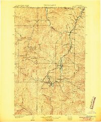
1904 · Republic
USGS Topo · 1:125,000
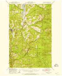
1948 · Republic
USGS Topo · 1:62,500
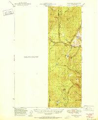
1951 · Wauconda
USGS Topo · 1:62,500
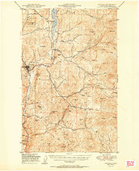
1951 · Republic
USGS Topo · 1:62,500
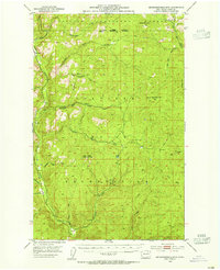
1953 · Seventeenmile Mtn.
USGS Topo · 1:62,500
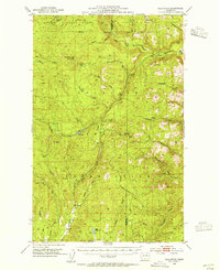
1953 · Bald Knob
USGS Topo · 1:62,500

1954 · Okanogan
USGS Topo · 1:250,000

1958 · Okanogan
USGS Topo · 1:250,000
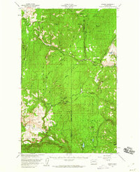
1958 · Aeneas
USGS Topo · 1:62,500
1984 · Republic
USGS Topo · 1:100,000