
2014 Map of Thirteenmile Creek
USGS Topo · Published 2014About this map
The Colville Indian Reservation and Colville National Forest meet in this 2014 survey of the northeastern Washington highlands. The terrain is defined by the south-flowing Sanpoil River, which is paralleled by State Hwy 21. This corridor serves as a primary north-south artery through the rugged landscape, connecting remote recreation sites like Thirteenmile Campground and Twentyone Mile Campground.
Find a feature on this map
28 named features on this map. Tap any name to fly to it.
Don’t see what you’re looking for? This feature index may not catch every label — zoom into the map to look around manually.
Map Details
Editions of this 2014 Thirteenmile Creek Map
This is the sole edition of this map. No revisions or reprints were ever made.
Other maps of this area
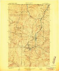
1904 · Republic
USGS Topo · 1:125,000
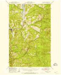
1948 · Republic
USGS Topo · 1:62,500
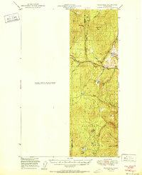
1951 · Wauconda
USGS Topo · 1:62,500
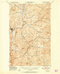
1951 · Republic
USGS Topo · 1:62,500
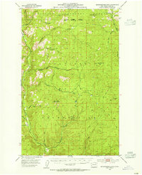
1953 · Seventeenmile Mtn.
USGS Topo · 1:62,500
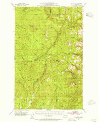
1953 · Bald Knob
USGS Topo · 1:62,500

1954 · Okanogan
USGS Topo · 1:250,000

1958 · Okanogan
USGS Topo · 1:250,000
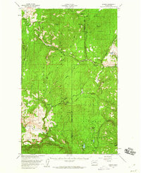
1958 · Aeneas
USGS Topo · 1:62,500
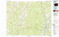
1984 · Republic
USGS Topo · 1:100,000