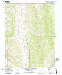
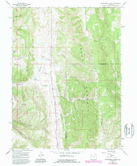
1966 Map of Thirteenmile Creek
USGS Topo · Published 1988About this map
The Grand Hogback dominates this landscape along the border of Rio Blanco Co and Garfield Co, creating a sharp topographical boundary that dictates the drainage of several western Colorado waterways. Significant seasonal and year-round creeks such as Thirteenmile Creek and Fourteenmile Creek cut through the high country, while the east is preserved within the White River National Forest.
Find a feature on this map
23 named features on this map. Tap any name to fly to it.
Don’t see what you’re looking for? This feature index may not catch every label — zoom into the map to look around manually.
Map Details
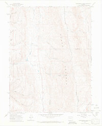
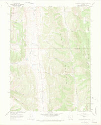
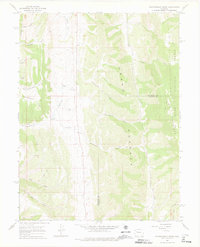
Editions of this 1966 Thirteenmile Creek Map
5 editions found
Other maps of this area

1906 · Grand Hogback
USGS Topo · 1:125,000

1910 · Grand Hogback
USGS Topo · 1:125,000

1925 · Parachute Creek
USGS Topo · 1:62,500

1927 · Parachute Creek
USGS Topo · 1:62,500

1952 · Rio Blanco
USGS Topo · 1:24,000

1952 · Horse Mountain
USGS Topo · 1:24,000

1952 · No Name Ridge
USGS Topo · 1:24,000

1952 · Segar Mountain
USGS Topo · 1:24,000

1956 · Grand Junction
USGS Topo · 1:250,000

1957 · Leadville
USGS Topo · 1:250,000