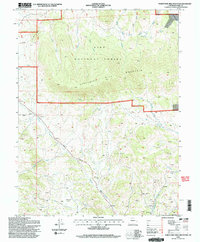
1994 Map of Thirtynine Mile Mountain
USGS Topo · Published 1998About this map
Thirtynine Mile Mountain dominates this portion of the Pike National Forest, where the high-altitude landscape is defined by complex drainage systems and scattered evidence of resource exploration. The settlement of Guffey sits at the southern edge of the quadrangle, serving as a rare point of habitation amidst a terrain marked by numerous Prospects and Prospect pits, particularly around the Bumgarner area. These labels point to a history of mineral searching that characterized this part of Park County.
Find a feature on this map
27 named features on this map. Tap any name to fly to it.
Don’t see what you’re looking for? This feature index may not catch every label — zoom into the map to look around manually.
Map Details
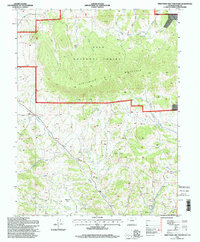
Editions of this 1994 Thirtynine Mile Mountain Map
2 editions found
Other maps of this area

1894 · Pikes Peak
USGS Topo · 1:125,000

1901 · Pikes Peak
USGS Topo · 1:125,000

1942 · Cover Mtn.
USGS Topo · 1:62,500

1948 · Cover Mtn.
USGS Topo · 1:62,500

1954 · Pueblo
USGS Topo · 1:250,000

1956 · Elevenmile Canyon
USGS Topo · 1:24,000

1956 · Guffey NW
USGS Topo · 1:24,000

1956 · Spinney Mountain
USGS Topo · 1:24,000

1957 · Pueblo
USGS Topo · 1:250,000

1958 · Pueblo
USGS Topo · 1:250,000