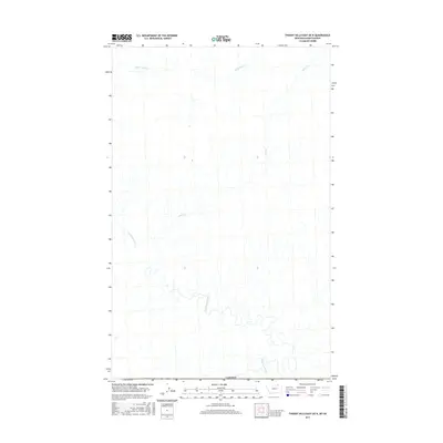
2017 Map of Thoeny Hills East OE N
USGS Topo · Published 2017About this map
Frenchman River meanders across this northern landscape just south of the international boundary with Canada. The terrain is defined by the drainage patterns of Otter Cr and Little Breed Cr, which cut through the open country of Phillips County. This 2017 survey shows a land shaped primarily by its hydrology, where the river's path creates the primary geographical orientation in an area otherwise sparse of structural development. The relationship between the northern border and these natural watercourses highlights the importance of watershed management in the high plains region, where these seasonal or permanent streams are the dominant landmarks.
Find a feature on this map
4 named features on this map. Tap any name to fly to it.
Don’t see what you’re looking for? This feature index may not catch every label — zoom into the map to look around manually.
Map Details
Editions of this 2017 Thoeny Hills East OE N Map
This is the sole edition of this map. No revisions or reprints were ever made.
Other maps of this area

1954 · Glasgow
USGS Topo · 1:250,000

1957 · Glasgow
USGS Topo · 1:250,000

1958 · Glasgow
USGS Topo · 1:250,000
1984 · Thoeny Hills East
USGS Topo · 1:24,000
1984 · Crow Creek Dam
USGS Topo · 1:24,000
1984 · Thoeny Hills West
USGS Topo · 1:24,000
2011 · Thoeny Hills West
USGS Topo · 1:24,000
2011 · Thoeny Hills East
USGS Topo · 1:24,000
2011 · Crow Creek Dam
USGS Topo · 1:24,000
2014 · Thoeny Hills West
USGS Topo · 1:24,000