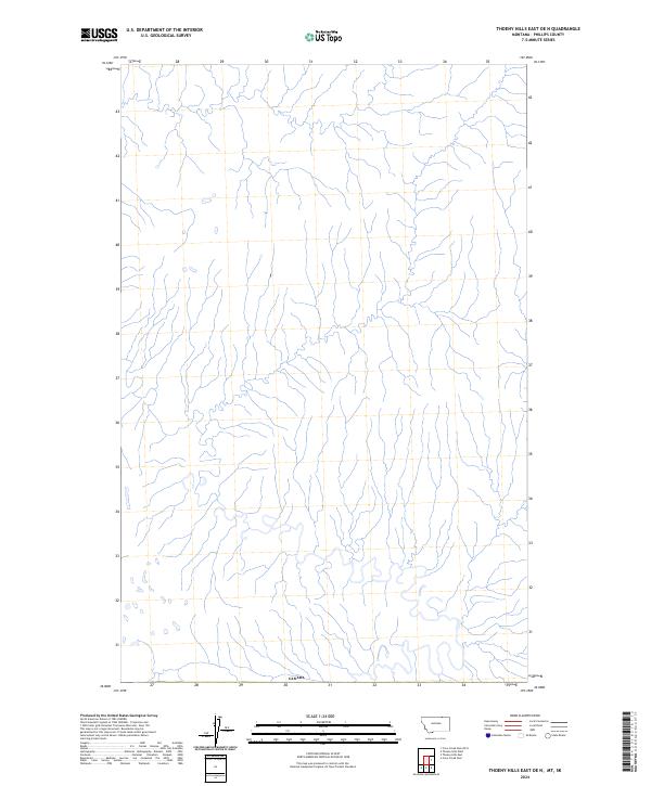
2024 Map of Thoeny Hills East OE N
USGS Topo · Published 2024About this map
Canada defines the southern boundary of this portion of the Montana prairie, where the international border separates Phillips County from the northern expanse. The landscape is characterized by a dense network of coulees and seasonal drainage channels that flow through the Thoeny Hills East OE N quadrangle, illustrating the complex natural hydrology of the northern plains. This 2024 topographic survey highlights the intricate land survey system and public land boundaries that remain foundational to the region's agricultural and ranching heritage. Without major settlements or roadways, the map emphasizes the primitive terrain and the preserved grid of the Public Land Survey System as it meets the international line.
Find a feature on this map
1 named feature on this map. Tap any name to fly to it.
Don’t see what you’re looking for? This feature index may not catch every label — zoom into the map to look around manually.
Map Details
Editions of this 2024 Thoeny Hills East OE N Map
This is the sole edition of this map. No revisions or reprints were ever made.
Other maps of this area

1954 · Glasgow
USGS Topo · 1:250,000

1957 · Glasgow
USGS Topo · 1:250,000

1958 · Glasgow
USGS Topo · 1:250,000

1984 · Thoeny Hills East
USGS Topo · 1:24,000

1984 · Crow Creek Dam
USGS Topo · 1:24,000
1984 · Thoeny Hills West
USGS Topo · 1:24,000
2011 · Thoeny Hills West
USGS Topo · 1:24,000
2011 · Thoeny Hills East
USGS Topo · 1:24,000
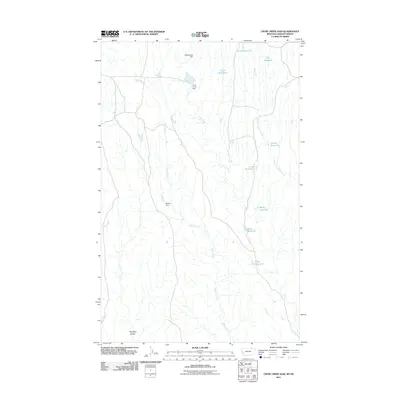
2011 · Crow Creek Dam
USGS Topo · 1:24,000
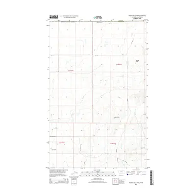
2014 · Thoeny Hills West
USGS Topo · 1:24,000