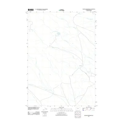
2012 Map of Thomas Reservoir
USGS Topo · Published 2012About this map
Thomas Reservoir and the neighboring Thomas Ranch anchor this landscape in Park County, Wyoming. The terrain is defined by a complex drainage system where Little Rawhide Cr and Rawhide Cr meet, while the northern edge is marked by the Short Fork Meeteetse Cr. This 2012 survey illustrates the high-plains geography of the region, featuring a network of seasonal and perennial waterways including Rose Cr and its tributary, Little Rose Cr, which flow toward the southern boundary near Pickett Cr. The map shows limited human infrastructure, primarily centered on rural ranching operations and primitive routes such as Road 5WT. The distribution of these water features suggests a landscape managed for livestock and irrigation in a characteristically arid environment.
Find a feature on this map
11 named features on this map. Tap any name to fly to it.
Don’t see what you’re looking for? This feature index may not catch every label — zoom into the map to look around manually.
Map Details
Editions of this 2012 Thomas Reservoir Map
This is the sole edition of this map. No revisions or reprints were ever made.
Other maps of this area

1955 · Cody
USGS Topo · 1:250,000
1957 · Wapiti
USGS Topo · 1:62,500
1957 · Devils Tooth
USGS Topo · 1:62,500
1957 · Irish Rock
USGS Topo · 1:62,500
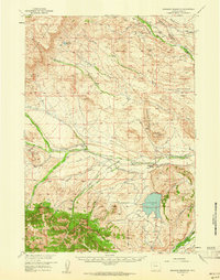
1957 · Sunshine Reservoir
USGS Topo · 1:62,500

1958 · Cody
USGS Topo · 1:250,000

1962 · Cody
USGS Topo · 1:250,000
1980 · Carter Mountain
USGS Topo · 1:100,000
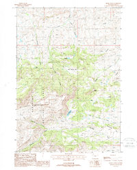
1987 · Devils Tooth
USGS Topo · 1:24,000
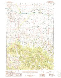
1987 · Pitchfork
USGS Topo · 1:24,000