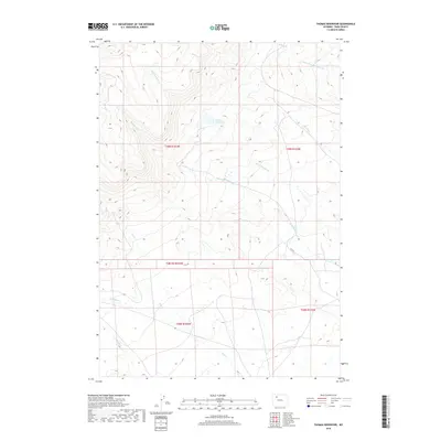
2018 Map of Thomas Reservoir
USGS Topo · Published 2018About this map
Thomas Reservoir sits as a central water source in this high-altitude drainage basin of Park County, where the landscape is defined by an intricate network of seasonal and perennial streams. The complex hydrologic pattern includes the Short Fork Meeteetse Cr and the convergent paths of Rawhide Cr and Little Rawhide Cr. Further south, the terrain transitions into the valleys of Rose Cr and Little Rose Cr, alongside Pickett Cr. The limited road network, represented primarily by Rd 5wt, highlights the rural and managed nature of these township lands during this 2018 survey. This map effectively documents the essential water infrastructure and natural drainage systems vital to the ranching and agricultural operations in the northwestern Wyoming backcountry.
Find a feature on this map
15 named features on this map. Tap any name to fly to it.
Don’t see what you’re looking for? This feature index may not catch every label — zoom into the map to look around manually.
Map Details
Editions of this 2018 Thomas Reservoir Map
This is the sole edition of this map. No revisions or reprints were ever made.
Other maps of this area

1955 · Cody
USGS Topo · 1:250,000
1957 · Wapiti
USGS Topo · 1:62,500
1957 · Devils Tooth
USGS Topo · 1:62,500
1957 · Irish Rock
USGS Topo · 1:62,500
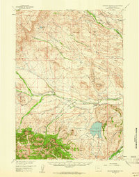
1957 · Sunshine Reservoir
USGS Topo · 1:62,500

1958 · Cody
USGS Topo · 1:250,000

1962 · Cody
USGS Topo · 1:250,000
1980 · Carter Mountain
USGS Topo · 1:100,000
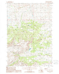
1987 · Devils Tooth
USGS Topo · 1:24,000
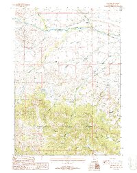
1987 · Pitchfork
USGS Topo · 1:24,000