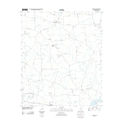
2012 Map of Thomas
USGS Topo · Published 2012About this map
Soules Chapel and its corresponding church stand at the center of this rural Upshur County landscape, where small agricultural settlements and family burial grounds are connected by a network of farm-to-market roads. The terrain is defined by the winding course of Little Cypress Creek, which flows eastward toward Lake Gilmer. In the northern half, Simpsonville and Thomas serve as local hubs, while the southern reach includes Rosewood near the shoreline of Henderson Lake.
Find a feature on this map
80 named features on this map. Tap any name to fly to it.
Don’t see what you’re looking for? This feature index may not catch every label — zoom into the map to look around manually.
Map Details
Editions of this 2012 Thomas Map
This is the sole edition of this map. No revisions or reprints were ever made.
Other maps of this area

1956 · Tyler
USGS Topo · 1:250,000
1960 · Shady Grove
USGS Topo · 1:24,000
1960 · Pritchett
USGS Topo · 1:24,000
1960 · Bettie
USGS Topo · 1:24,000
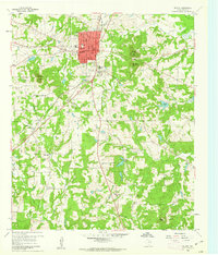
1960 · Gilmer
USGS Topo · 1:24,000
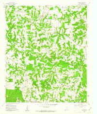
1960 · Thomas
USGS Topo · 1:24,000
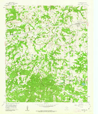
1960 · Newsome
USGS Topo · 1:24,000
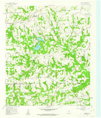
1960 · Leesburg
USGS Topo · 1:24,000
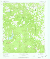
1960 · Rhonesboro
USGS Topo · 1:24,000
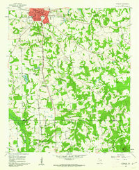
1960 · Pittsburg
USGS Topo · 1:24,000