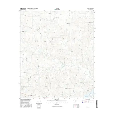
2016 Map of Thomas
USGS Topo · Published 2016About this map
Thomas and Grice serve as the primary focal points for this portion of Upshur County, where the landscape is defined by the headwaters and tributaries of the Little Cypress Cr system. The area's history is preserved in several burial grounds, including the Simpsonville Cem near Thomas and the Grice Cem to the southwest. Water resources are a dominant feature of the terrain, with Lake Gilmer appearing in the southeast corner and Henderson Lake nearby, alongside smaller bodies like Upper Raintree Lake. Numerous creeks and branches, such as Prairie Cr, Caney Cr, and Enon Br, create a complex drainage network through the wooded hills. An interesting naming convention appears in the local road system, where many routes are named after animals, such as Raccoon Rd, Elephant Rd, and Flying Squirrel Rd, suggesting a modern organizational layer over the traditional rural landscape and earlier landmarks like Bear Springs.
Find a feature on this map
80 named features on this map. Tap any name to fly to it.
Don’t see what you’re looking for? This feature index may not catch every label — zoom into the map to look around manually.
Map Details
Editions of this 2016 Thomas Map
This is the sole edition of this map. No revisions or reprints were ever made.
Other maps of this area

1956 · Tyler
USGS Topo · 1:250,000
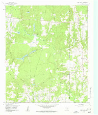
1960 · Shady Grove
USGS Topo · 1:24,000
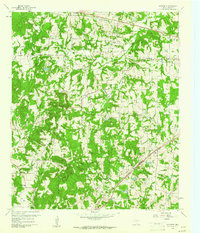
1960 · Pritchett
USGS Topo · 1:24,000
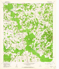
1960 · Bettie
USGS Topo · 1:24,000
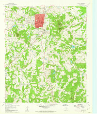
1960 · Gilmer
USGS Topo · 1:24,000
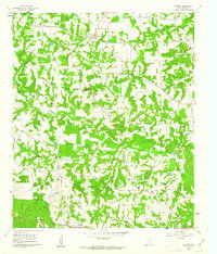
1960 · Thomas
USGS Topo · 1:24,000
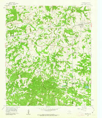
1960 · Newsome
USGS Topo · 1:24,000
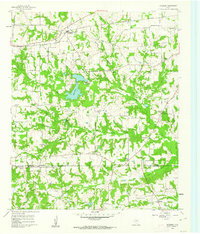
1960 · Leesburg
USGS Topo · 1:24,000
1960 · Rhonesboro
USGS Topo · 1:24,000
1960 · Pittsburg
USGS Topo · 1:24,000