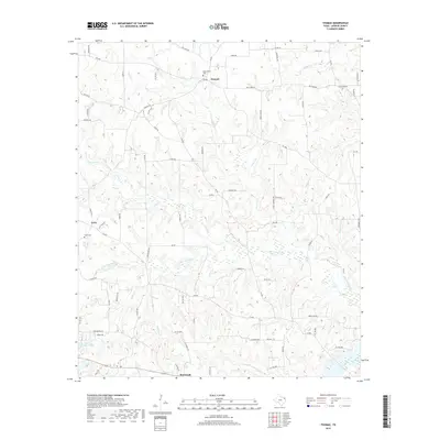
2019 Map of Thomas
USGS Topo · Published 2019About this map
The community of Thomas sits at the junction of several livestock-themed roads in northern Upshur County, including Mule Deer Rd and Oxen Rd. This area of East Texas is defined by its intricate network of small waterways, such as Little Cypress Cr and Prairie Cr, which drain the wooded terrain. The map records several small settlements and rural crossroads that reflect the region's agricultural roots and family history, including Grice and Rosewood.
Find a feature on this map
81 named features on this map. Tap any name to fly to it.
Don’t see what you’re looking for? This feature index may not catch every label — zoom into the map to look around manually.
Map Details
Editions of this 2019 Thomas Map
This is the sole edition of this map. No revisions or reprints were ever made.
Other maps of this area

1956 · Tyler
USGS Topo · 1:250,000
1960 · Shady Grove
USGS Topo · 1:24,000
1960 · Pritchett
USGS Topo · 1:24,000
1960 · Bettie
USGS Topo · 1:24,000
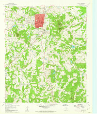
1960 · Gilmer
USGS Topo · 1:24,000
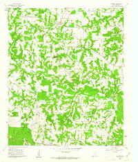
1960 · Thomas
USGS Topo · 1:24,000
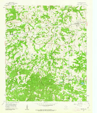
1960 · Newsome
USGS Topo · 1:24,000
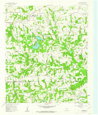
1960 · Leesburg
USGS Topo · 1:24,000
1960 · Rhonesboro
USGS Topo · 1:24,000
1960 · Pittsburg
USGS Topo · 1:24,000