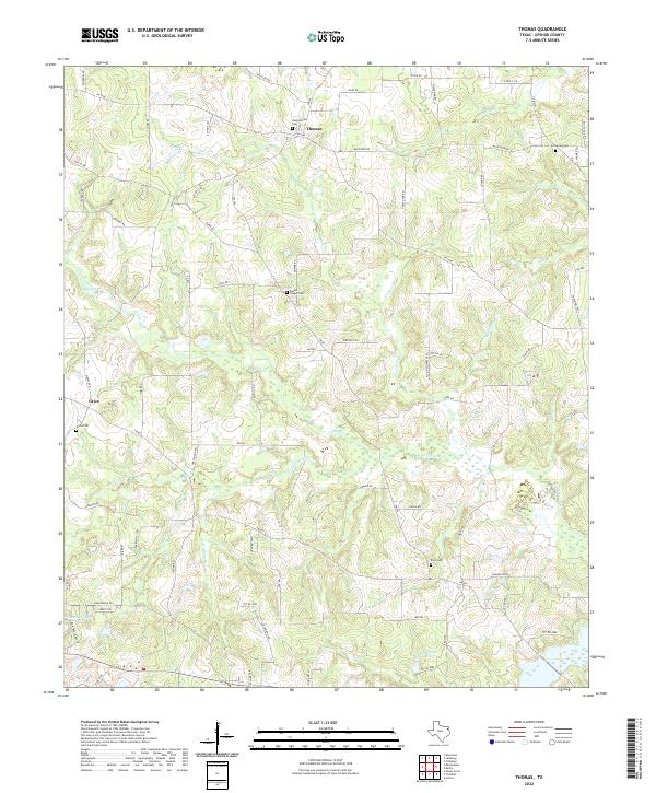
2022 Map of Thomas
USGS Topo · Published 2022About this map
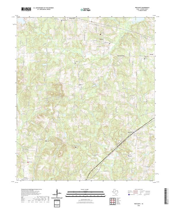
The community of Thomas and the nearby settlement of Grice anchor this detailed study of Upshur County. The landscape is defined by the winding course of Little Cypress Creek and its many tributaries, including Caney Creek and Prairie Creek. These wetlands and bottomlands transition into upland areas marked by a high density of rural cemeteries, such as Simpsonville Cemetery and Soules Chapel Cemetery, which serve as vital markers for local genealogical research.
Find a feature on this map
83 named features on this map. Tap any name to fly to it.
Don’t see what you’re looking for? This feature index may not catch every label — zoom into the map to look around manually.
Map Details
Editions of this 2022 Thomas Map
This is the sole edition of this map. No revisions or reprints were ever made.
Historical Maps of Enon Through Time
10 maps found
1960 Bettie
Upshur County, TX
1960 Coffeeville
Upshur County, TX
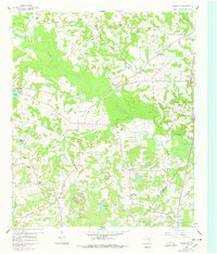
1960 Glenwood
Upshur County, TX
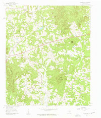
1960 Pritchett
Upshur County, TX

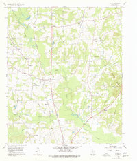
1960 Thomas
Upshur County, TX
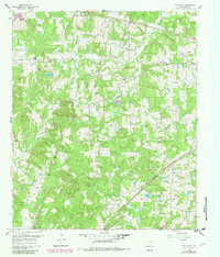
2022 Bettie
Upshur County, TX
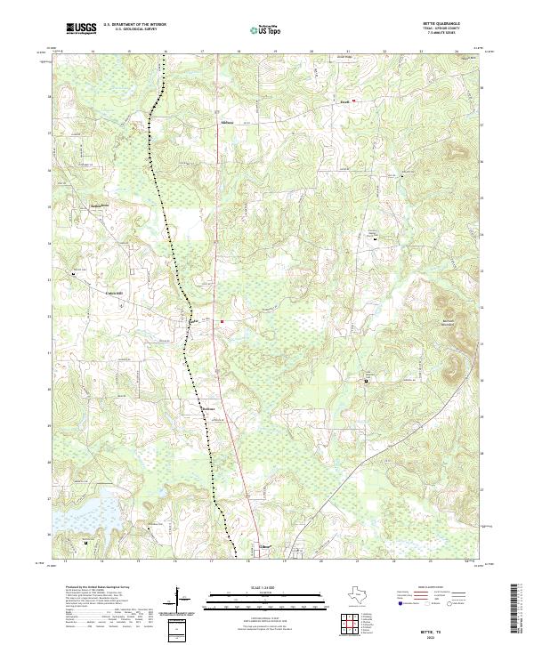
2022 Coffeeville
Upshur County, TX
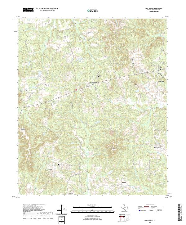
2022 Glenwood
Upshur County, TX
2022 Pritchett
Upshur County, TX
2022 Thomas
Upshur County, TX