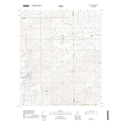
2018 Map of Thomasville
USGS Topo · Published 2018About this map
The Norfolk Southern railroad corridor dictates the settlement pattern of this Alabama interior, threading through the city of Thomasville and smaller rural stops like Sunny South. This 2018 survey reveals a landscape where modern infrastructure meets a deep-rooted genealogical record, evidenced by the numerous family and community burial grounds such as Danzy Cem, Tutt Cem, and the Airmount Cem.
Find a feature on this map
83 named features on this map. Tap any name to fly to it.
Don’t see what you’re looking for? This feature index may not catch every label — zoom into the map to look around manually.
Map Details
Editions of this 2018 Thomasville Map
This is the sole edition of this map. No revisions or reprints were ever made.
Other maps of this area

1953 · Montgomery
USGS Topo · 1:250,000

1953 · Andalusia
USGS Topo · 1:250,000

1956 · Montgomery
USGS Topo · 1:250,000

1957 · Montgomery
USGS Topo · 1:250,000

1957 · Andalusia
USGS Topo · 1:250,000

1973 · Fulton East
USGS Topo · 1:24,000

1973 · Pine Hill
USGS Topo · 1:24,000

1973 · Thomasville
USGS Topo · 1:24,000

1973 · Lower Peach Tree
USGS Topo · 1:24,000

1978 · Surginer
USGS Topo · 1:24,000