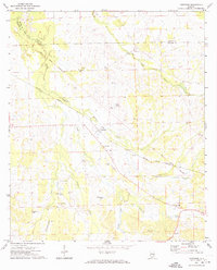
1971 Map of Thompson
USGS Topo · Published 1974About this map
The Old Indian Treaty Boundary slices diagonally across this rural Bullock County landscape, marking a historical line of demarcation that still influenced land patterns into the early 1970s. The settlement of Thompson serves as a central point, situated along the Central of Georgia rail line and flanked by the winding course of Williams Creek. The area is characterized by a high density of rural spiritual and communal sites, including the Second Baptist Ch, Penile Ch, and Mt Hilliard Ch.
Find a feature on this map
26 named features on this map. Tap any name to fly to it.
Don’t see what you’re looking for? This feature index may not catch every label — zoom into the map to look around manually.
Map Details
Editions of this 1971 Thompson Map
2 editions found
Other maps of this area

1955 · Phenix City
USGS Topo · 1:250,000

1957 · Phenix City
USGS Topo · 1:250,000

1958 · Phenix City
USGS Topo · 1:250,000
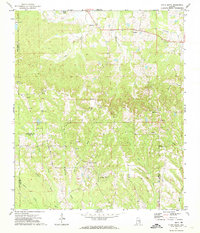
1971 · China Grove
USGS Topo · 1:24,000

1971 · Hardaway
USGS Topo · 1:24,000

1971 · Thompson
USGS Topo · 1:24,000
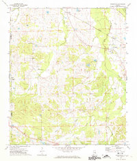
1971 · Fitzpatrick
USGS Topo · 1:24,000
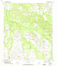
1971 · Chesson
USGS Topo · 1:24,000
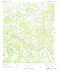
1971 · Almeria
USGS Topo · 1:24,000
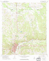
1973 · Union Springs
USGS Topo · 1:24,000