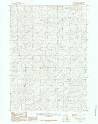
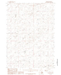
1984 Map of Thompson Draw
USGS Topo · Published 1984About this map
Flat Allemand dominates the southern portion of this high-plains landscape, characterized by a complex drainage network typical of the Converse County region. The terrain is defined by the winding paths of Stinking Water Creek and its North Fork, which cut through the topography alongside Bear Creek and Thompson Draw. This 1984 provisional survey, compiled from 1976 aerial photography, captures a sparsely developed area where human activity is marked primarily by an isolated Landing Strip. The abundance of named ephemeral watercourses, such as Friday Draw, Sand Creek, Spring Draw, and Night Draw, highlights the seasonal hydrology that shaped the movement of early ranchers and land surveyors across this portion of Wyoming.
Find a feature on this map
11 named features on this map. Tap any name to fly to it.
Don’t see what you’re looking for? This feature index may not catch every label — zoom into the map to look around manually.
Map Details
Editions of this 1984 Thompson Draw Map
This is the sole edition of this map. No revisions or reprints were ever made.
Other maps of this area

1955 · Newcastle
USGS Topo · 1:250,000

1958 · Newcastle
USGS Topo · 1:250,000

1959 · Fifty-Five Ranch
USGS Topo · 1:62,500

1959 · Coal Draw
USGS Topo · 1:62,500
1959 · Highland Flats
USGS Topo · 1:62,500

1960 · Ross
USGS Topo · 1:62,500

1979 · Bill
USGS Topo · 1:100,000
1984 · Marsh Draw
USGS Topo · 1:24,000
1984 · Suicide Hill
USGS Topo · 1:24,000
1984 · Bear Creek
USGS Topo · 1:24,000