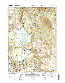
2014 Map of Thompson Reservoir
USGS Topo · Published 2014About this map
Thompson Reservoir dominates the landscape of this high-elevation terrain within the Fremont National Forest. Located in southern Oregon, this watershed is defined by its network of mountain streams and valleys, including Thompson Valley and Auger Valley. The map shows a region shaped by forest management and hydrology, where several vital water sources like Toolbox Spring, Hawk Spring, and Squaw Spring emerge from the slopes. Distinctive landforms such as Alder Spring Ridge and Indian Creek Flat provide a clear picture of the topography surrounding the reservoir. A network of Forest Service infrastructure, including Natl Forest Develop Road 28 Rd, provides the primary access through this timber and recreation land, while numerous creeks like Silver Cr and Guyer Cr feed into the central basin.
Find a feature on this map
29 named features on this map. Tap any name to fly to it.
Don’t see what you’re looking for? This feature index may not catch every label — zoom into the map to look around manually.
Map Details
Editions of this 2014 Thompson Reservoir Map
This is the sole edition of this map. No revisions or reprints were ever made.
Other maps of this area
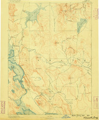
1889 · Klamath
USGS Topo · 1:250,000
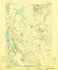
1894 · Klamath
USGS Topo · 1:250,000

1955 · Crescent
USGS Topo · 1:250,000
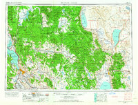
1955 · Klamath Falls
USGS Topo · 1:250,000

1957 · Crescent
USGS Topo · 1:250,000

1958 · Crescent
USGS Topo · 1:250,000
1958 · Klamath Falls
USGS Topo · 1:250,000
1960 · Sycan Marsh
USGS Topo · 1:62,500
1966 · Pole Butte
USGS Topo · 1:24,000
1966 · Foster Butte
USGS Topo · 1:24,000