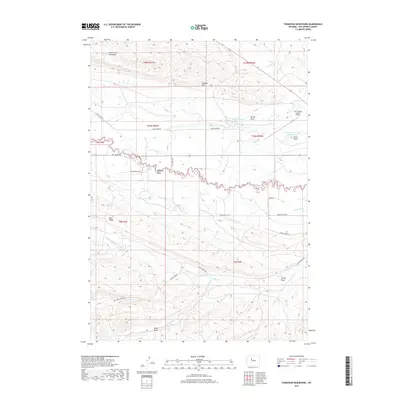
2017 Map of Thompson Reservoirs
USGS Topo · Published 2017About this map
Padlock Rim and Blue Ridge dominate this high-desert landscape in Hot Springs County, where the topography is defined by an intricate network of ephemeral drainages and ridgelines. Water management is central to this arid region, evidenced by the Thompson Reservoir Number One and Thompson Reservoir Number Two, along with numerous draws like Alkali Draw and Kelly Draw. The layout of the land is further characterized by the confluence of major seasonal watercourses including Pumpkin Cr and Middle Fork Mud Cr. Transportation is limited to a sparse grid of rural routes such as Missouri Flat Rd and N Owl Creek Rd, which provide access to the remote interior. The inclusion of the Hot Springs County Airport in the northeast quadrant highlights the modern infrastructure supporting this otherwise sparsely populated ranching and natural resource territory.
Find a feature on this map
30 named features on this map. Tap any name to fly to it.
Don’t see what you’re looking for? This feature index may not catch every label — zoom into the map to look around manually.
Map Details
Editions of this 2017 Thompson Reservoirs Map
This is the sole edition of this map. No revisions or reprints were ever made.
Other maps of this area
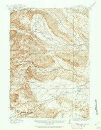
1913 · Grass Creek Basin
USGS Topo · 1:62,500
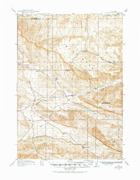
1914 · Blue Mesa
USGS Topo · 1:62,500
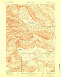
1915 · Grass Creek Basin
USGS Topo · 1:62,500
1916 · Blue Mesa
USGS Topo · 1:62,500
1952 · Kates Basin
USGS Topo · 1:24,000

1955 · Thermopolis
USGS Topo · 1:250,000
1958 · Thermopolis
USGS Topo · 1:250,000
1962 · Thermopolis
USGS Topo · 1:250,000
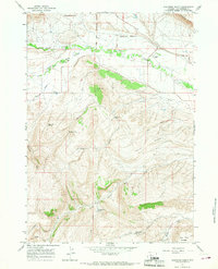
1965 · Arapahoe Ranch
USGS Topo · 1:24,000
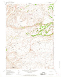
1965 · Potato Butte
USGS Topo · 1:24,000