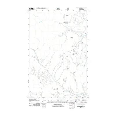
2011 Map of Thompson Ridge
USGS Topo · Published 2011About this map
Wolf Creek Research Natural Area occupies a significant portion of this landscape, established to protect the native ponderosa pine and douglas fir ecosystems north of Wolf Creek. The terrain is defined by dramatic elevations, including Virginian Ridge to the north and the prominent Thompson Ridge in the center. The drainage pattern is complex, with numerous creeks such as Burnt Saw Creek and Little Bridge Creek cutting through the highlands toward the Twisp River valley in the south.
Find a feature on this map
30 named features on this map. Tap any name to fly to it.
Don’t see what you’re looking for? This feature index may not catch every label — zoom into the map to look around manually.
Map Details
Editions of this 2011 Thompson Ridge Map
This is the sole edition of this map. No revisions or reprints were ever made.
Other maps of this area
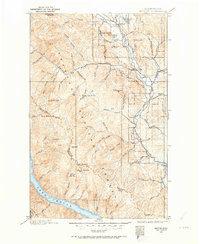
1899 · Methow
USGS Topo · 1:125,000
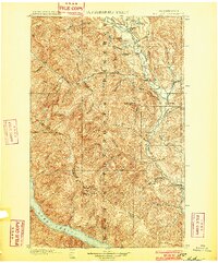
1901 · Methow
USGS Topo · 1:125,000

1955 · Concrete
USGS Topo · 1:250,000

1958 · Concrete
USGS Topo · 1:250,000

1962 · Concrete
USGS Topo · 1:250,000
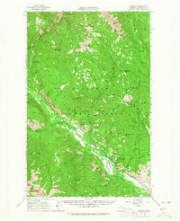
1962 · Mazama
USGS Topo · 1:62,500
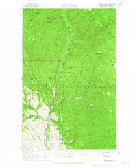
1963 · Doe Mountain
USGS Topo · 1:62,500
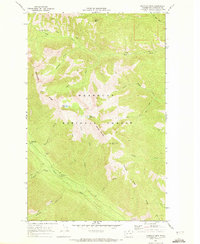
1969 · Midnight Mtn.
USGS Topo · 1:24,000
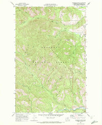
1969 · Thompson Ridge
USGS Topo · 1:24,000
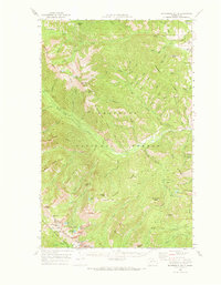
1969 · Buttermilk Butte
USGS Topo · 1:62,500