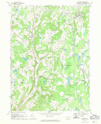
1968 Map of Thompson
USGS Topo · Published 1971About this map
The Old Newburgh and Cochecton Turnpike cuts through the southern reaches of this Susquehanna County landscape, reflecting the historical thoroughfares that shaped the region's early travel. By the late 1960s, the terrain is characterized by a mix of upland ridges like Snake Hill and Slocum Hill and numerous water bodies, including Fiddle Lake, Butler Lake, and Stearns Lake. The industrial and transit legacy of the area is visible in the corridor where the Delaware and Hudson and Erie-Lackawanna rail lines run parallel through the eastern valley, serving the town of Thompson and the smaller settlement at Ararat.
Find a feature on this map
54 named features on this map. Tap any name to fly to it.
Don’t see what you’re looking for? This feature index may not catch every label — zoom into the map to look around manually.
Map Details
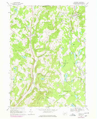
Editions of this 1968 Thompson Map
2 editions found
Other maps of this area

1892 · Honesdale
USGS Topo · 1:62,500

1892 · Dundaff
USGS Topo · 1:62,500

1924 · Starrucca
USGS Topo · 1:48,000

1926 · Starrucca
USGS Topo · 1:62,500

1930 · Starrucca
USGS Topo · 1:48,000

1932 · Susquehanna
USGS Topo · 1:62,500

1933 · Starrucca
USGS Topo · 1:62,500

1935 · Susquehanna
USGS Topo · 1:62,500

1943 · Honesdale
USGS Topo · 1:125,000

1946 · Forest City
USGS Topo · 1:24,000