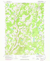
1968 Map of Thompson
USGS Topo · Published 1978About this map
Tunkhannock Creek and its many tributaries carve through the glaciated highlands of northeastern Pennsylvania, defining the settlement patterns of Jackson, Ararat, and Thompson. This landscape is heavily shaped by its hydrology, dotted with glacial remnants such as Fiddle Lake, Stearns Lake, and the expansive Tinglepaugh Swamp. By the late 1960s, the rural character remained dominant, though the industrial footprint of the past is visible in the numerous Quarries and the rail corridors of the Delaware and Hudson and Conrail.
Find a feature on this map
53 named features on this map. Tap any name to fly to it.
Don’t see what you’re looking for? This feature index may not catch every label — zoom into the map to look around manually.
Map Details
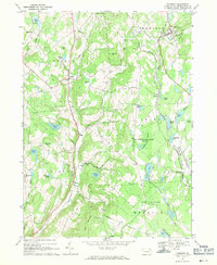
Editions of this 1968 Thompson Map
2 editions found
Other maps of this area

1892 · Honesdale
USGS Topo · 1:62,500

1892 · Dundaff
USGS Topo · 1:62,500

1924 · Starrucca
USGS Topo · 1:48,000

1926 · Starrucca
USGS Topo · 1:62,500

1930 · Starrucca
USGS Topo · 1:48,000

1932 · Susquehanna
USGS Topo · 1:62,500

1933 · Starrucca
USGS Topo · 1:62,500

1935 · Susquehanna
USGS Topo · 1:62,500

1943 · Honesdale
USGS Topo · 1:125,000

1946 · Forest City
USGS Topo · 1:24,000