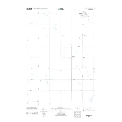
2013 Map of Thompson
USGS Topo · Published 2013About this map
Thompson stands as the primary settlement on this Winnebago County landscape, its town grid defined by streets like Harrison St and Lynn St. The surrounding agricultural terrain is heavily shaped by early twentieth-century water management, featuring substantial infrastructure like Drainage Ditch Number 24 and Drainage Ditch Number 39 which supplement the natural flow of Little Buffalo Cr and Buffalo Cr. A significant cultural and natural landmark is the Linden Township Cemetery Prairie, preserving a rare remnant of the original Iowa prairie alongside local burial grounds. To the southwest, the name Mount Valley appears as a distinct location, while Pike Run winds south from the Thompson area, illustrating the relationship between the prairie township's small-town life and the extensively engineered drainage network that supports North Iowa's farming economy.
Find a feature on this map
40 named features on this map. Tap any name to fly to it.
Don’t see what you’re looking for? This feature index may not catch every label — zoom into the map to look around manually.
Map Details
Editions of this 2013 Thompson Map
This is the sole edition of this map. No revisions or reprints were ever made.
Other maps of this area

1954 · Mason City
USGS Topo · 1:250,000

1957 · Mason City
USGS Topo · 1:250,000

1958 · Mason City
USGS Topo · 1:250,000

1972 · Buffalo Center
USGS Topo · 1:24,000

1972 · Buffalo Center SW
USGS Topo · 1:24,000

1972 · Forest City
USGS Topo · 1:24,000

1972 · Buffalo Center NE
USGS Topo · 1:24,000

1972 · Hayfield
USGS Topo · 1:24,000

1972 · Crystal Lake
USGS Topo · 1:24,000

1972 · Vinje
USGS Topo · 1:24,000