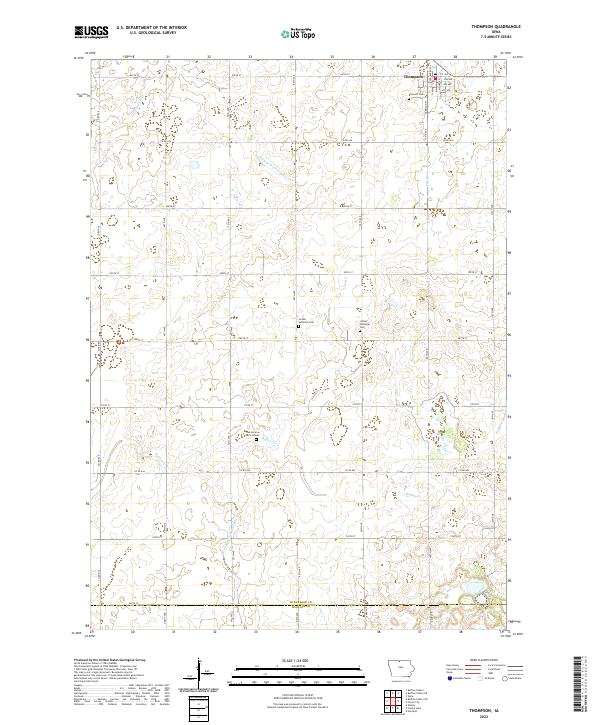
2022 Map of Thompson
USGS Topo · Published 2022About this map
Thompson anchors this northern Iowa landscape, situated in the northeast corner of the quadrangle just above the Winnebago Co and Hancock Co boundary. The terrain is defined by the headwaters of Buffalo Creek and Little Buffalo Cr, alongside engineered water management features like Drainage Ditch Number 24 and Drainage Ditch Number 39, which support the region's intensive agricultural character. For family historians, several burial sites are documented across the townships, including Rose Hill Cem near the town center and the more rural Linden Lutheran Cem. A unique genealogical detail is the location of the Dan Lemme Farm Graves in the southwestern portion of the map, illustrating the historical pattern of private family interments on homestead lands throughout the county.
Find a feature on this map
45 named features on this map. Tap any name to fly to it.
Don’t see what you’re looking for? This feature index may not catch every label — zoom into the map to look around manually.
Map Details
Editions of this 2022 Thompson Map
This is the sole edition of this map. No revisions or reprints were ever made.
Other maps of this area

1954 · Mason City
USGS Topo · 1:250,000

1957 · Mason City
USGS Topo · 1:250,000

1958 · Mason City
USGS Topo · 1:250,000

1972 · Buffalo Center
USGS Topo · 1:24,000

1972 · Buffalo Center SW
USGS Topo · 1:24,000

1972 · Forest City
USGS Topo · 1:24,000

1972 · Buffalo Center NE
USGS Topo · 1:24,000

1972 · Hayfield
USGS Topo · 1:24,000

1972 · Crystal Lake
USGS Topo · 1:24,000

1972 · Vinje
USGS Topo · 1:24,000