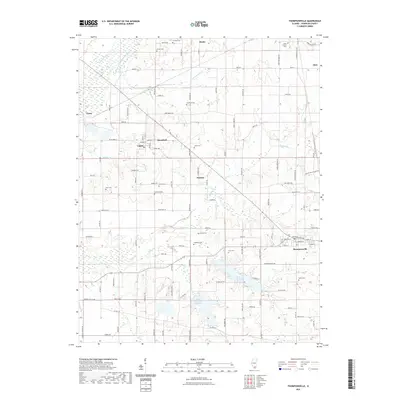
2021 Map of Thompsonville
USGS Topo · Published 2021About this map
Thompsonville and the surrounding townships of eastern Franklin County are defined by a complex network of small cemeteries and headwater creeks feeding the Big Muddy watershed. In this modern survey, the intersection of Benton St and Shawneetown Rd serves as a central hub for the village of Thompsonville, while the surrounding rural landscape is dotted with ancestral burial grounds like Knob Prairie Cem, Swofford Cem, and Smothers Cem. The hydrological pattern is anchored by the New City Lake and the West Frankfort Reservoir, which collect drainage from southern tributaries including Stevens Cr and Tilley Cr.
Find a feature on this map
113 named features on this map. Tap any name to fly to it.
Don’t see what you’re looking for? This feature index may not catch every label — zoom into the map to look around manually.
Map Details
Editions of this 2021 Thompsonville Map
This is the sole edition of this map. No revisions or reprints were ever made.
Other maps of this area

1908 · Galatia
USGS Topo · 1:62,500

1909 · West Frankfort
USGS Topo · 1:62,500

1938 · Galatia
USGS Topo · 1:62,500

1939 · Ina
USGS Topo · 1:62,500

1941 · West Frankfort
USGS Topo · 1:62,500

1942 · McLeansboro
USGS Topo · 1:62,500

1943 · Ina
USGS Topo · 1:62,500

1945 · McLeansboro
USGS Topo · 1:62,500

1949 · Paducah
USGS Topo · 1:250,000

1950 · Paducah
USGS Topo · 1:250,000