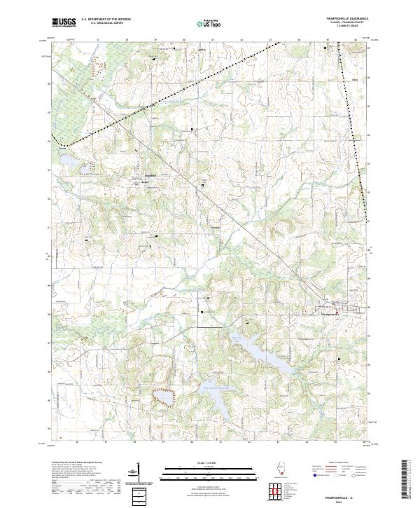
2024 Map of Thompsonville
USGS Topo · Published 2024About this map
Thompsonville and its surrounding rural corridors in eastern Franklin County are defined by a network of small settlements and family burial grounds. The landscape is structured by the Middle Fork Big Muddy River and several eastward-draining tributaries, including Ewing Creek and Stevens Creek. Small residential clusters at Logan, Hanaford, and Parrish persist along the local road network, while larger water features like New City Lake and the West Frankfort Reservoir occupy the southern reaches of the quadrangle.
Find a feature on this map
115 named features on this map. Tap any name to fly to it.
Don’t see what you’re looking for? This feature index may not catch every label — zoom into the map to look around manually.
Map Details
Editions of this 2024 Thompsonville Map
This is the sole edition of this map. No revisions or reprints were ever made.
Other maps of this area

1908 · Galatia
USGS Topo · 1:62,500

1909 · West Frankfort
USGS Topo · 1:62,500

1938 · Galatia
USGS Topo · 1:62,500

1939 · Ina
USGS Topo · 1:62,500

1941 · West Frankfort
USGS Topo · 1:62,500

1942 · McLeansboro
USGS Topo · 1:62,500

1943 · Ina
USGS Topo · 1:62,500

1945 · McLeansboro
USGS Topo · 1:62,500

1949 · Paducah
USGS Topo · 1:250,000

1950 · Paducah
USGS Topo · 1:250,000