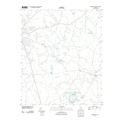
2011 Map of Thomson East
USGS Topo · Published 2011About this map
Boneville and Dearing anchor this corner of McDuffie County, where a dense network of country roads and family-named cemeteries reflects a deeply rooted rural community. The landscape is defined by the winding course of Sweetwater Creek and the intricate series of reservoirs to the south, including Dearing Number 10 Lake and Arties Pond. These water features, often coupled with structures like the Boneville Pond Dam, suggest a history of local water management for agriculture or milling.
Find a feature on this map
91 named features on this map. Tap any name to fly to it.
Don’t see what you’re looking for? This feature index may not catch every label — zoom into the map to look around manually.
Map Details
Editions of this 2011 Thomson East Map
This is the sole edition of this map. No revisions or reprints were ever made.
Other maps of this area

1892 · Mc Cormick
USGS Topo · 1:125,000

1906 · Crawfordville
USGS Topo · 1:125,000

1912 · Mc Cormick
USGS Topo · 1:125,000

1921 · Appling
USGS Topo · 1:62,500

1922 · Harlem
USGS Topo · 1:62,500

1943 · Appling
USGS Topo · 1:62,500

1948 · Harlem
USGS Topo · 1:62,500

1948 · Harlem
USGS Topo · 1:24,000

1948 · Thomson East
USGS Topo · 1:24,000

1950 · Dearing
USGS Topo · 1:24,000